Lewis & Clark Trail
Day 33: September 22nd, 1999 Great Falls — Helena
Despite the long day yesterday (more than 340 miles and 12 hours) I am awake pretty early again. I leave the JB’s Restaurant already around half past seven. My first destination is the Lewis & Clark Interpretative Center. But I lose my way again because of the road construction. At least I arrive just when they open the Center.

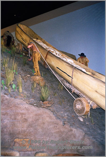
Great Portage, Lewis & Clark Interpretative Center, Great Falls, MT
The exhibition is designed as a roundtrip starting in the cellar. It starts with the orders from president Jefferson and you can follow the whole journey to the Pacific and the way back. The part in this area is called the “Great Portage” around the Great Falls and has a special big place in the exhibition. They also modeled one of the steep hills where the men pulled up one of the pirogues. When looking at the model it is easy to understand why they needed one month to get everything around the water falls. At the end you can watch a short movie about this journey. All in all this is one of the best Centers I have seen on my whole journey. Originally I planned to spend only one hour. But at the end I have been two hours there — worth every minute.
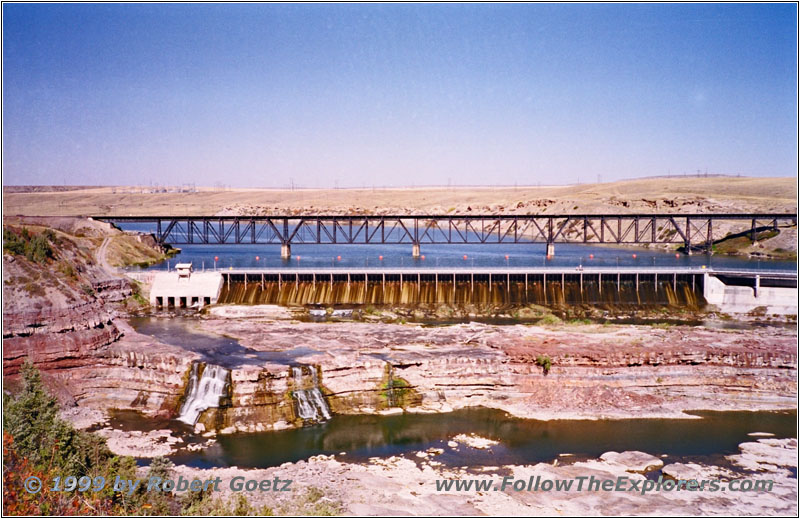
Rainbow Dam, Great Falls, MT
My next stops are the waterfalls which have been such big obstacles for the Corps of Discovery. I start with the Rainbow Falls. Nowadays are dams on every fall. If I would have been here in spring time it would be much more impressive when the water runs from the dams over the rocks. But after a long and dry summer there is not much water left in the Missouri and the big falls are now reduced to a very tiny fall on one side.
The next stop is Cochrane Dam. There is also a small island in the middle of the Missouri with a hanging bridge. But as it is late in the season the bridge is already closed.
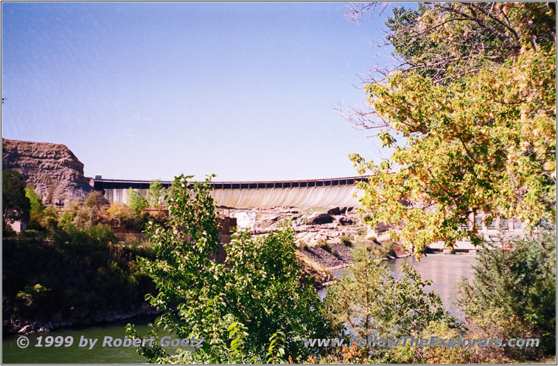
Ryan Dam, MT
The next fall is at Ryans Dam. There is a warning sign that the road will end at the dam. But the road continous on my map. Unfortunately the signs are right and a “Private Property” sign stops me to follow the road drawn in my map.
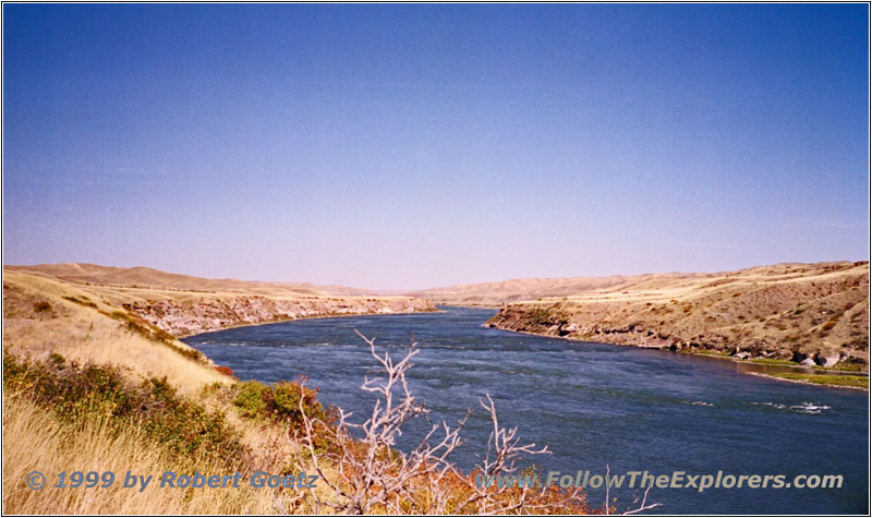
Missouri River, Morony Dam, MT
So I have to drive several miles back to get to the last dam: The Morony Dam. The hiking path to the Sacagawea Spring would start at the last switchback. Lewis treated Sacagawea with the water from the spring. She got an unknown disease. The historians believe that the minerals in the water have probably helped Sacagawea to get healthy again. A family is shooting clay pigeon here. Usually they are out here hunting. But it is still too hot (around 85 degrees) and there is no deer around. They will wait until the evening.
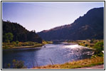
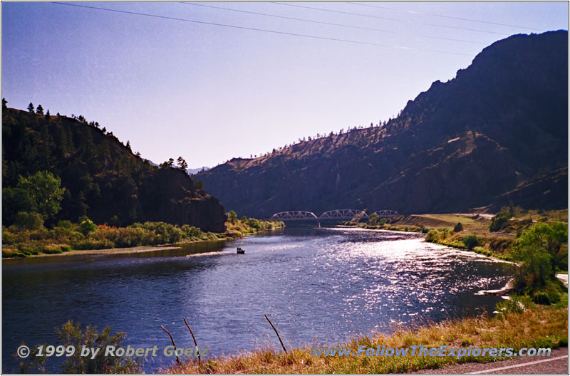
Missouri River, Old U.S.91, MT
I say goodbye and travel back to Great Falls. From there I take backroads to the south. When leaving the pavement it happens to my car pod: Due to the heat the suction cup came lose and the camera went down into the foot space. Lucky me the camera survived without damage. I mount the camera back on the windshield and travel on. I am already two hours behind my schedule. At Cascades I enter Old U.S. 91. Next to the old highway is the new Interstate 15. But I prefer the more quiet and relaxed journey instead of hectic Interstate travel to reach my destination.
The landscape is getting more mountainous. I am wondering how the explorers might have felt when seeing the mighty Rocky Mountains at the horizon…
I follow Old U.S. 91 which always switches sides with the Interstate. I planned to do a side trip into the valley of the Beartooth Wildlife Area at Wolf Creek Bridge. This is the only chance to follow the river a couple of more miles. But I am already late and I have to skip this side trip. I travel on Old U.S. 91 another couple of miles until the road eventually ends at Exit 219 of I–15. Now I have to travel on the Interstate. The only upside is that I will gain a little bit of time.
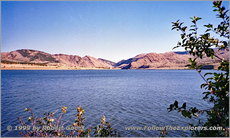
Gates of the Rocky Mountains, Holter Lake, MT
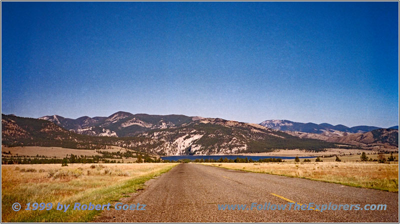
Gates of the Rocky Mountains, Holter Lake, MT
I follow the Interstate to Exit 219. My next destination is Upper Holter Lake where I reach the Missouri again. Lewis wrote into his diaries that the rocks to the right and left looked like a gate to the Rocxy Montains. That’s why he named this passage “Gates of the Rocky Mountains”. After I took some pictures and videos I drive back to the Interstate. I think back at the Lewis & Clark Expedition. When they reached this lake with their canoes they saw smoke from fires in the distance. They heard later that these fires have been warning signs from the Shoshone who thought the expedition were Blackfeets because of their shooting earlier. The Shoshone sought shelter in the mountains. If the expedition would have met the Indians here they would have been able to trade horses for crossing the mountains. Then they would have been able to cross the Continental Divide in the Helena area. But this did not happen…
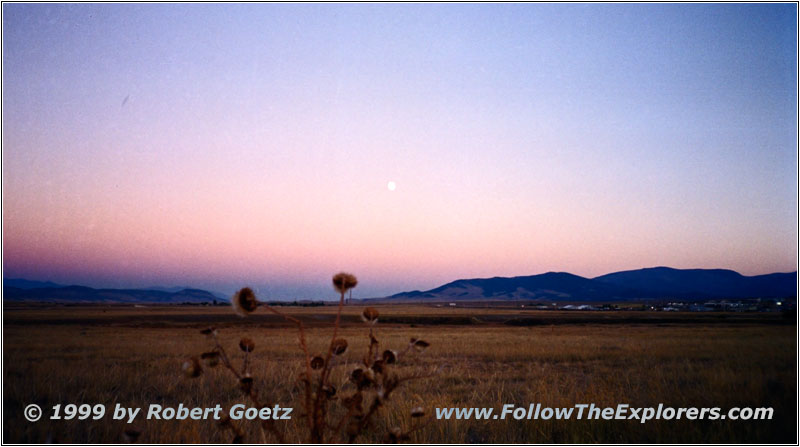
Helena, MT
I follow the Interstate to Helena. I plan to stay at the local Motel 6 but they are completely booked. So I try it at the Super 8 Motel nearby. They still have rooms available. After I put all my luggage in the room I drive into the city to find a nice place for dinner. But I am not able to see something immediately. So I drive back to the Interstate and follow the signs to a Perkins Restaurant. Food is not bad there but also not a highlight. The server tries to be nice but is very slow. Just past seven I leave the restaurant and drive to Wal Mart. I completely underestimated the amount of picture rolls I need. I still hope I have enough video tapes. I am not sure if I am able to get the digital video tapes I need…
- Sights
- Lewis & Clark Interpretative Center
- Gates of the Rocky Mountains
- General
- Breakfast: JB’s, Great Falls
- Dinner: Perkins, Helena
- Motel: Super 8, Helena
- Distance: 195 miles
