Lewis & Clark Trail
Day 24: September 13th, 1999 Pierre — Mobridge
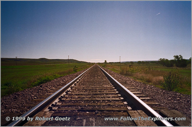
Railroad Xing, Farm Island Rd, Pierre, SD
The start today is not as early as usual. At half past nine I leave the Happy Chef after a big breakfast and drive to the next gas station. I start the trail at ten with a new Country Radio Station at FM94.5. First I visit the Farm Island Recreation Area. Then I drive to the Lilly Park in Fort Pierre on the other side of the river. At this location at the mouth of Bad River was end of September 1804 one of the most important and critical meetings with the Teton Sioux. Lewis & Clark had the task to convince the Indians to trade with the Americans. But this was very difficult with the Teton Sioux because they controlled trading here at the Missouri and this way also the trading with the neighbouring Arikara Indians. If trading would be under control of Washington the Teton Sioux would have no chance to trade in e.g. corn for themselves. What made the situation even more complex was, that they ran into the Sioux when there was a big dispute between the two most powerful chiefs. After a short discussion the situation was almost to escalate. It was Chief Black Buffalo who was able to calm everything down to avoid a fight. He asked the expedition to take him and his men upriver. This way the expedition was under his protection. Sure the explorers agreed and took the Indians up to nowadays Lake Oahe Dam.
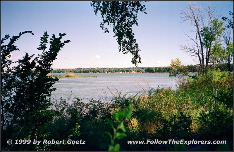
Lilly Park, Pierre, SD
I follow the small signs to the Lilly Park. First I thought I took the wrong direction. I am driving through small villages with half tumbled down houses. Eventually I reach a small camping area with some RVs. Everything looks pretty unattended. There is only a small and half washout sign which remembers at this historical meeting which almost ended fatal for the expedition. After a brief look over the river I drive back to Highway 1806 to follow the ride of Lews & Clark with the Indians. When they passed this area hundreds of warriors were standing at the river banks. How must have these handfull guys felt to be between the most militant and dangerous tribes of the area!
They reach the area of nowadays Lake Oahe Dam without any issues. Chief Black Buffalo left the vessel there and they spent another night with the Indians at the river banks. The situation almost escalated again due to a misunderstanding. It was Chief Black Buffalo once again who saved the situation. Unfortunately the expedition was not able to leave a positive impression which was the desired goal of president Jefferson. But at least they managed to be on their way again without any fights and any losses.
I take Highway 204 which runs on top of the dam and takes me to the other side of the river. The dam was built in 1948. In 1962 it was possible to also use the water power. The official opening ceremony was held by President John F. Kennedy on August 17th, 1962. The lake Oahe ist the fourth biggest lake in the US which is human made.
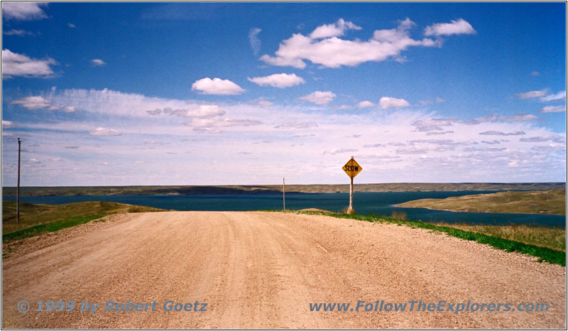
Lake Oahe, Backroad, SD
At the other side of the river I turn onto Highway 1804. After a couiple of miles I am on the backroads again. Unfortunately a lot of the roads on my map cross either private property which is marked with “No Trespassing”–signs or the roads are almost completely overgrown and I have no chance to drive on with this vehicle.
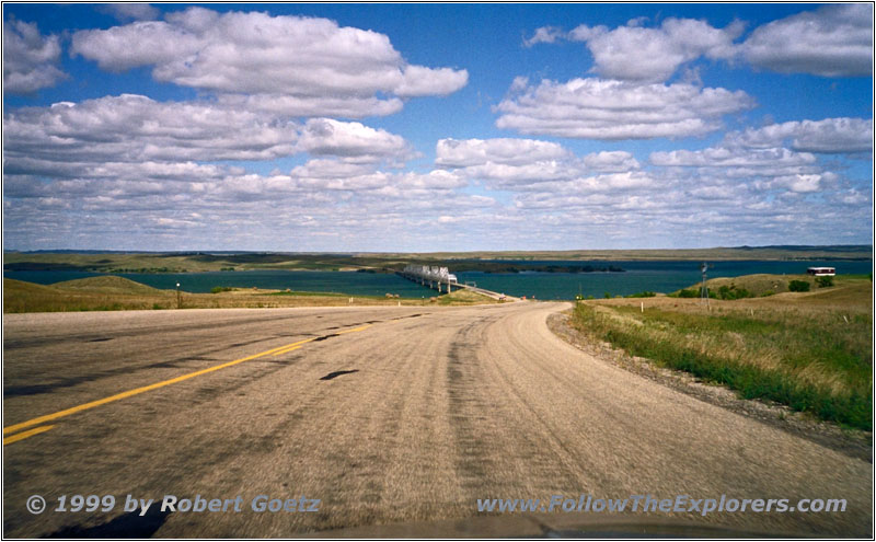
Bridge Lake Oahe, Highway 212, SD
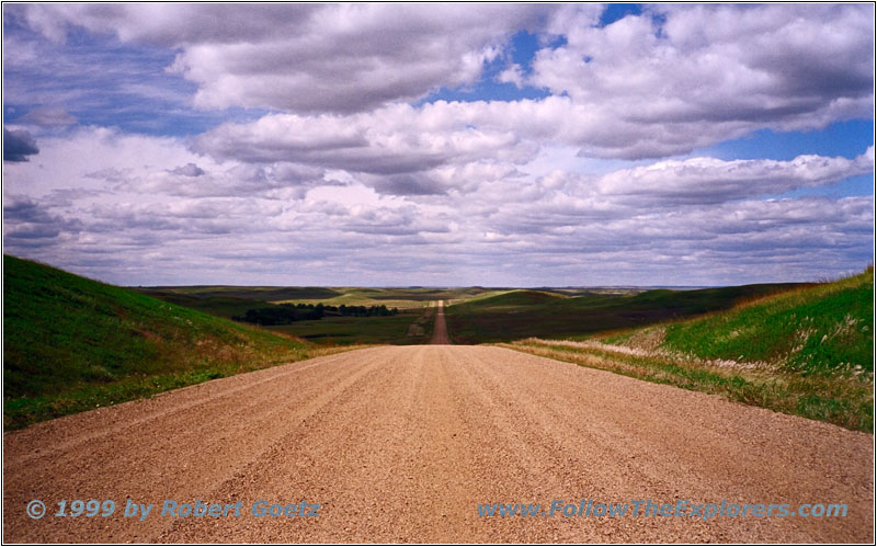
BIA8, SD
After a lot of circling around the closed roads I reach Highway 212 at 1pm. I cross again the Missouri and turn onto BIA8. Unfortunately this road is not as close to the river as I wish, but there are no other options in this area.
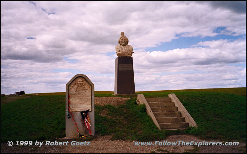
Sitting Bull Monument, Mobridge, SD

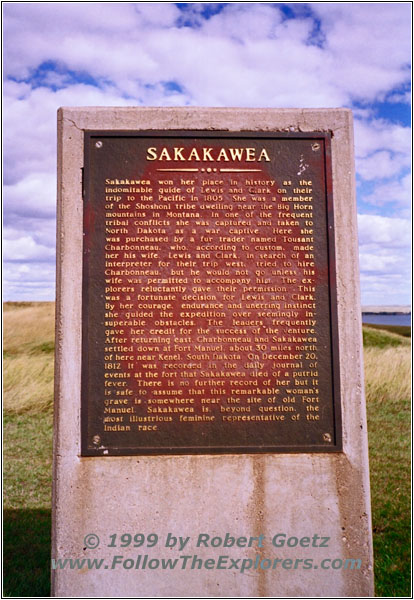
Sacagawea Historical Marker, Mobridge, SD
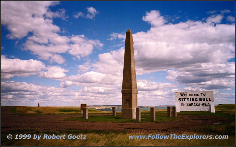
Sacagawea Monument, Mobridge, SD
I reach the Sacagawea and Sitting Bull Monument late afternoon. They are both completely unprotected in the open prairie. This is also how they look like. Additionally some people sprayed on them and destroyed them on some spots. Only the monument of the chief has some colored scarfs as decoration. Beside that there is not much to point out which important chief it should be remembered here. Maybe the unheroic end of his life is also part of why noone is really taking care of this monument. At the end he was traveling with Buffalo Bill and his Wild West Show through the country.
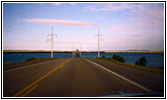
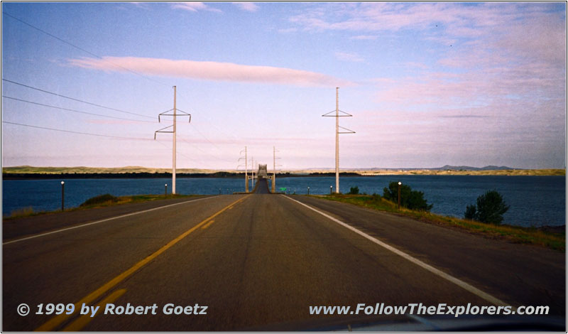
Bridge Highway 20, Lake Oahe, SD
I am again the only visitor here — beside a couple of cows at the entrance road. The weather is a bit cloudy again and there is still the same storm like yesterday. You feel it especially here in the open and flat prairie. Also both monuments are on top of a small hill. But this way you have a great view of Mobridge from the Sitting Bull Monument. I enjoy the views for a while before I return to Highway 1806. I cross the Missouri on Highway 12 and reach Mobridge.
My todays destination is the Super 8 Motel. After checking in I drive into the city to search for a nice restaurant. I end up at the Wheel Family Restaurant which is close to the Motel. Around seven I leave the restaurant and return to my Motel. I already know where I will have breakfast tomorrow…
- Sights
- Lilly State Park (no fee)
- Sacagawea and Sitting Bull Monument (no fee)
- General
- Breakfast: Happy Chef, Pierre
- Dinner: Wheel Family Restaurant, Mobridge
- Motel: Super 8, Mobridge
- Distance: 160 miles
