Lewis & Clark Trail
Day 23: September 12th, 1999 Wagner — Pierre
The area around the Motel looked pretty abandoned yesterday. Therefore I decide not to do a long search for a place for breakfast but to have the Continental Breakfast in the Motel instead. But that’s not comparable to a “real” breakfast with bacon and eggs. At least I have the chance to chat a bit with the employee at the reception. I leave the Motel in time around half past nine. But not before the next Country Radio Station is tuned in. This time at FM100.5.
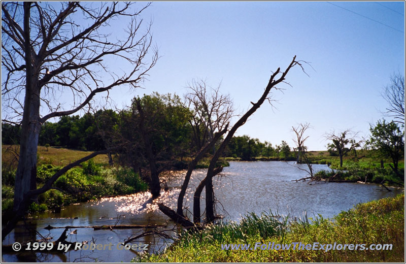
Backroad, SD
First I drive back on Highway 46 to Pickstown and cross the Missouri on Highway 18 and the Fort Randall Dam. Currently the weather is nice. But let’s see if it stays this way until tonight. But it has cooled down a lot. You can really feel the cold Jet Stream from Canada which the Weather Channel announced for today. Also the wind has picked up.
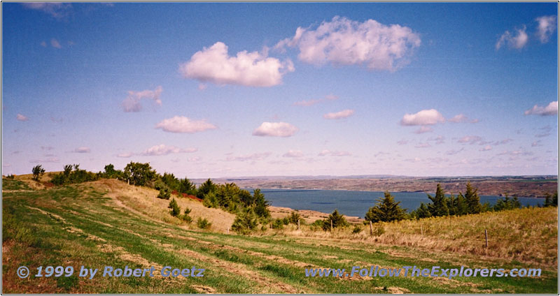
Lake Francis Case, Snake Creek Recreation Area, SD
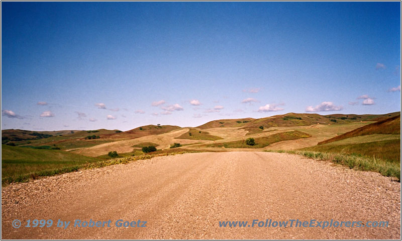
Highway 1806, SD
After a couple of miles I turn onto CR67 to the north. Now I am driving really through the “Rolling Prairie”. The road is phantastic. On a one lane dirt road I drive the hills up and down. Driving is really fun here. Soon I reach the Missouri again and I am able to follow his banks. At Bonesteel I hit Highway 18. Just past the village I turn onto Highway 1806 which takes me all the way to Highway 44. I follow this highway across the Missouri to the east. I use the opportunity to take a couple of pictures on a nice view point just past Snake Creek State Recreation Area. The wind almost turned into a storm in the meantime. Tonight the radio will say that the wind speeds were up to 35mph!
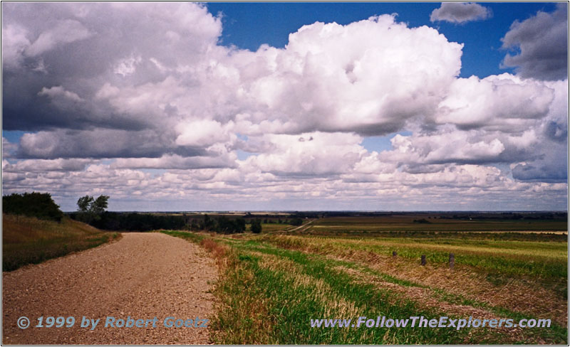
Backroad, SD
Highway 44 takes me up to Highway 50 north. At Acadamy I turn again onto the backroads and follow the river banks as close as possible. After a while I reach I–90 and have to follow the Interstate for a couple of miles to Chamberlain. In the meantime it is getting really cloudy and it’s only a matter of time when it will start to rain.
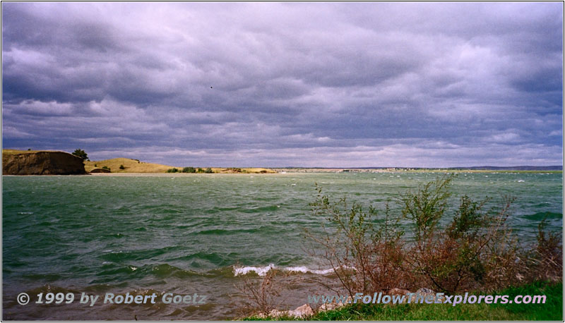
Lake Sharpe, SD
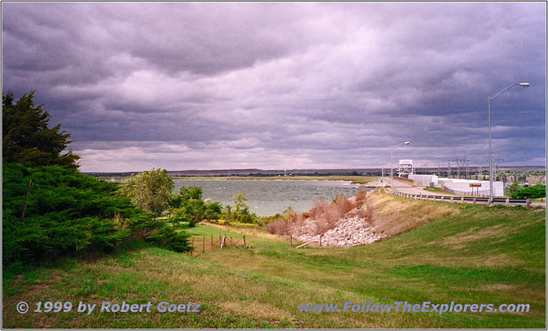
Highway 47, Lake Sharpe, SD
I follow Highway 50 to BIA4. This is my next backropad along the Missouri river banks to Fort Thompson. From there Highway 47 takes me again across the Missouri. Now it is starting to rain. Hopefully not too much. Otherwise I will not be able to drive on the backroads. I cross the Missouri at the Big Bend Dam and take BIA5 to Lower Brule. From there BIA3 goes all the way to the headland of the Big Bend. The Missouri makes a horseshoe bend around the headland. The boats of the Lewis & Clark Expedition took a long time to get around here. This gave Clark the opportunity to send out his hunters and picks them up after the “Grand Detour”, which is also the name for this bend.
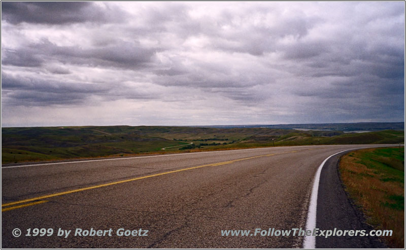
Highway 1806, SD
At the headland I briefly enjoy the view and drive back to Lower Brule to follow the river banks again. After a couple of miles I am back on Highway 1806 again. I am able to drive on this highway almost to Pierre where it runs together with Highway 83. I cross the Missouri again on this highway and reach the capitol. The Super 8 Motel is my destination for today. Unfortunately there is a reunion of Veterans and the Motel is almost booked. But I am lucky to get on of the last available rooms. Next to the motel is a Happy Chef for dinner and breakfast. This saves me from driving for today and tomorrow morning. Around seven I leave the Happy Chef und walk back to my motel.
- Sights
- —
- General
- Breakfast: Super 8, Wagner
- Dinner: Happy Chef, Pierre
- Motel: Super 8, Pierre
- Distance: 283 miles
