Zebulon Montgomery Pike Trail to the sources of the Mississippi 1805 — 1806
Day 23: September 2nd, 2002 Boscobel — La Crosse
I have breakfast again at “The Vale Inn”. Unfortunately I slept in a bit. So I arrive just past nine at the restaurant. It’s already crowded due to Labor Day. But I am lucky and I am able to get one table. The breakfast is really good. This is the advantage, if you are in a small village. The breakfast there is not the usual chain breakfast. I pay at around a quarter to ten and leave for the next gas station.
I am not able to reach the main street because of a construction zone. So I have to search for signs on how to get to the gas station. Eventually I discover one and drive over. Accidentally I stop at a pump with service. So I get back into my truck and drive over to one without service.
Just past ten I am able to hit the road. First I have to drive all the way back to Prairie Du Chien. There a small pickup truck is passing me really fast. But it doesn’t take long until I see him again — with the sheriff behind him…
I continue and cross the Mississippi once again (in the meantime I know the way out of my head). On Highway 76 I follow now the west banks. My first destination is Effigy Mounds, an ancient collection of earth mounds where the Indians used to live. Those mounds have been on my way along the Missouri quite often. But these are the first ones who have the shapes of animals. Let’s see!
First I drive to the Visitor Center. There I have the chance to see the introduction video all by myself. I am amazed, because it is public holiday and it is already 11am. But this gives me the chance to really enjoy the movie. After the movie I receive a map of the area. They suggest to hike at least to Fire Point. From there I should have really nice views. But before I will take a tour through the museum itself, which has a nice collection of Indian artifacts from that time.
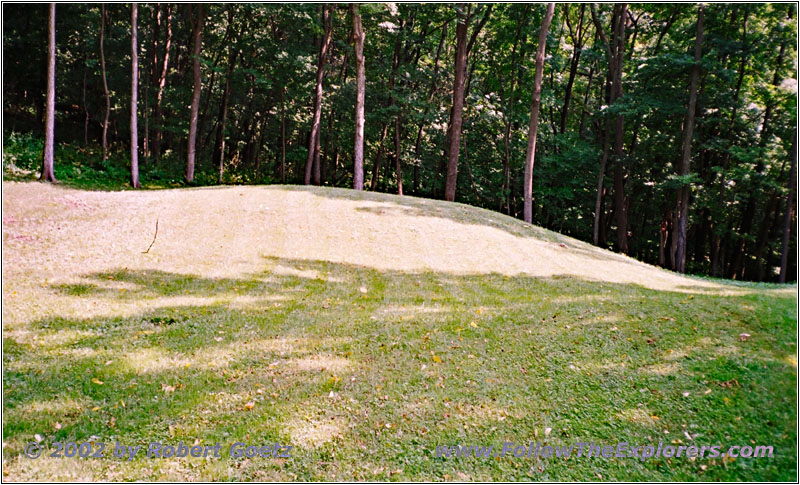
Effigy Mounds, IA

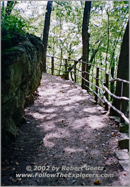
Effigy Mounds, IA
Then I start my hike. Behind the visitor center is the first mound. After that I have to go up a very steep hill. From the top the hike is fairly level along the ridge down to the Mississippi and not really strenuous.
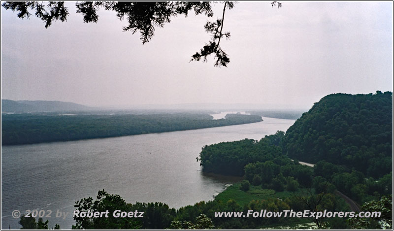
Mississippi River, Eagle Rock, Effigy Mounds, IA
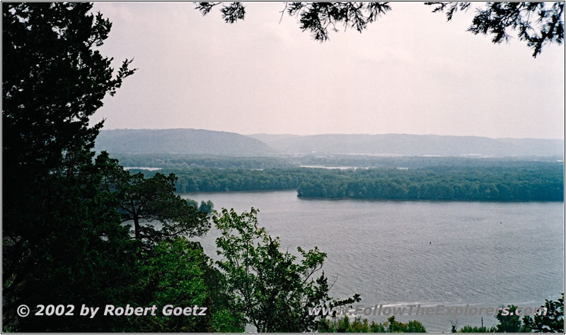
Mississippi River, Eagle Rock, Effigy Mounds, IA
The first view point is Eagle Rock. Unfortunately there is no eagle around. But I have very nice views down to the Mississippi River.
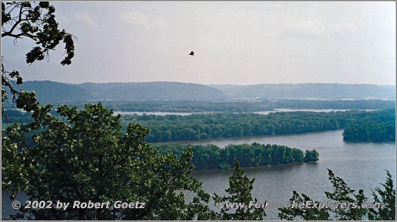
Eagle, Mississippi River, Fire Point, Effigy Mounds, IA
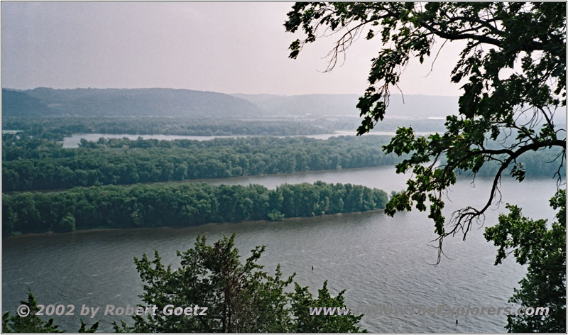
Mississippi River, Fire Point, Effigy Mounds, IA
The second view point is Fire Point. Currently there is a tour at this spot. So I set up my camera a bit to the side to video tape the other areas. When the crowd is gone I can video tape the rest. From there I have great views from south to north. After video taping and taking pictures I continue my hike.
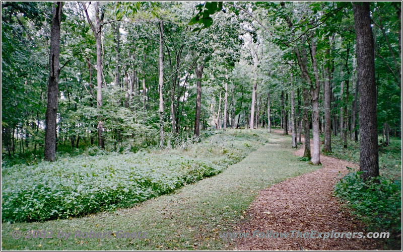
Large Gerdales Mound, Effigy Mounds, IA
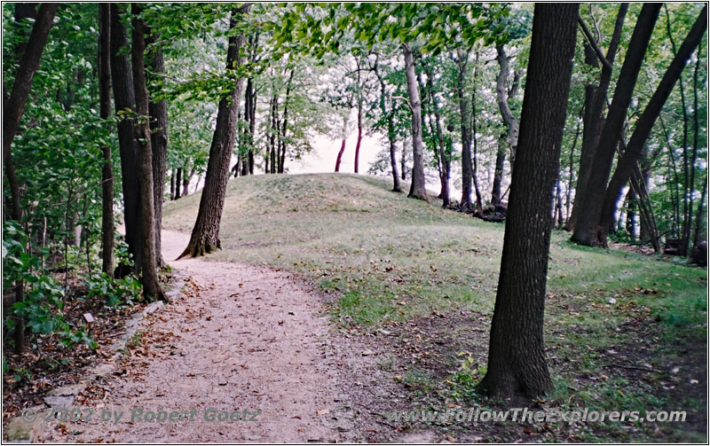
Great Bear Mound, Effigy Mounds, IA
I am still good in time, so I decide to also hike to the next view point. First the trail is still through a forest. Then it changes between forest and glades. Also the first mosquitoes are attacking me. Stupidly I forgot to put mosquito repellent on. But now it’s too late to return, I would loose too much time. So I have to watch out and try to hit them fast. This way I can somehow keep going.
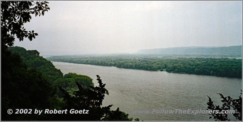
Mississippi River, Twin Views, Effigy Mounds, IA
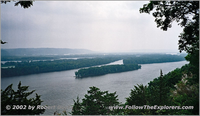
Mississippi River, Twin Views, Effigy Mounds, IA
After a while I reach Twin Views. As the name tells you, these are two view points very close together. One gives views to the north, the other to the south. But the best is, that there are now mosquitoes around. So I can take my time for video taping and taking pictures — and also to drink some water.
Then I continue. As I am still good in time I continue to the next view point. The hiking trail runs again through forests which results in a lot of mosquito swarms around. Slowly I am no longer able to catch up with hitting them. I also cannot stop, because then they will almost attack in a formation. So the only chance is to literally run to the next view point. Only at glades where the sun really burns I have a chance to fill up my body water level. But you don’t like to stay in the hot sun for long. Also you start to sweat which attracts these beasts even more…
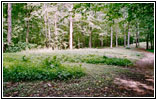
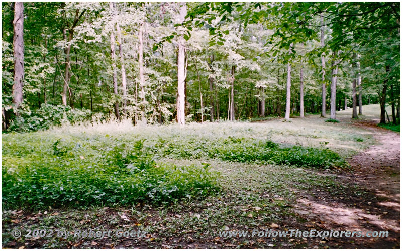
Third Scenic View, Effigy Mounds, IA
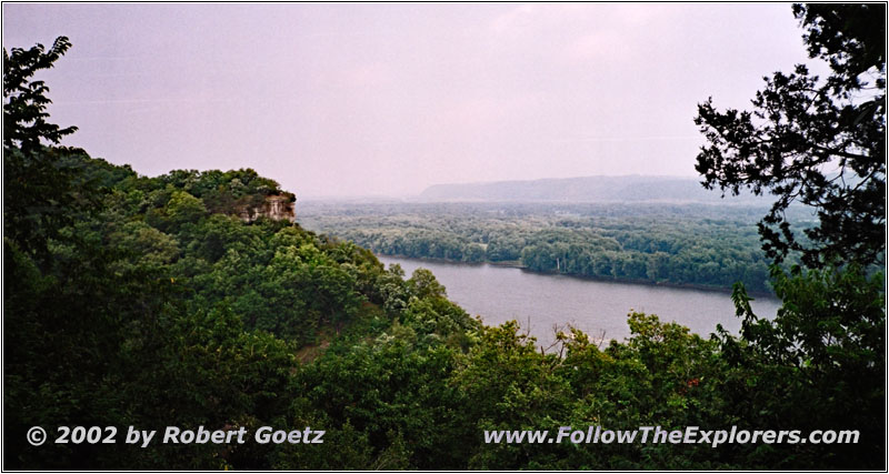
Mississippi River, Third Scenic View, Effigy Mounds, IA
Eventually I arrive at Third Scenic View. It seems like no one has a better idea for a name. From there I also have nice views to the last view point: Hanging Rock. As I am still good in time I decide to also hike this last little distance. You really see that almost no one is hiking this far. At the first two view points you are on the main tourist traffic route. The mosquitoes are well fed and everything is fine. But here in this forest, where you even have to cross some dry creeks, the mosquitoes are almost starving. There is no chance to succeed self defense. I have to run down the hill to the creek and up on the other side. This way the number of mosquitoes who are able to follow me is very low. I swear to myself I will never ever hike without mosquito repellent in my bag!
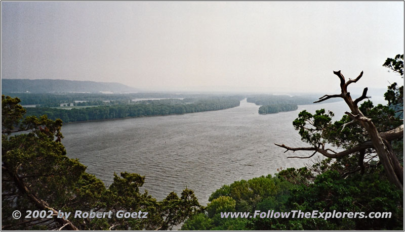
Mississippi River, Hanging Rock, Effigy Mounds, IA

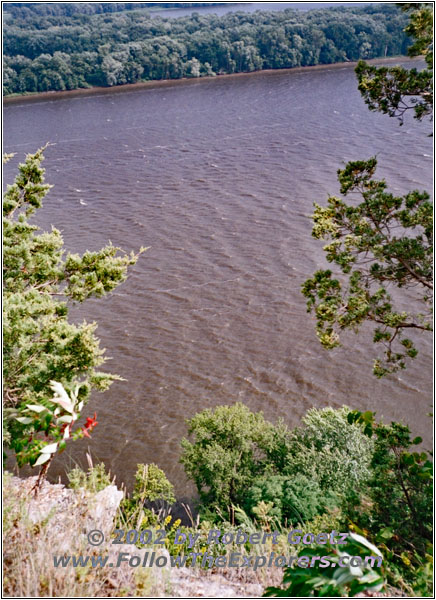
Mississippi River, Hanging Rock, Effigy Mounds, IA
After an almost endless hike I reach the last view point, Hanging Rock. As reward for these stresses and strains I see two eagles in the air above the view point. I set up my video camera and after half an hour have some nice shots on my tape. Now I take a big mouthful of water before I return into the lion’s den.
At a small glade I stop again to catch some breath. Suddenly one of the nuts, who fall down from the trees all the time, hit my camera. But I am lucky and nothing broke. Only some debris from the nutshell is on my camera. Lucky me the nut has not hit the optical part — or even worse my head. The latter most likely would have caused some headaches…
I am glad when I reach the tourist route again and I can reduce my speed. Oddly enough there is not a single mosquito around. Now I only have to hike back down the hill to my car. There I drink a whole bottle of water without a stop. The temperature is already in the 90s and I used a lot of energy fighting the mosquitoes. Also my map is completely sweated through. Therefore I go back to the Visitor Center to get a new one.
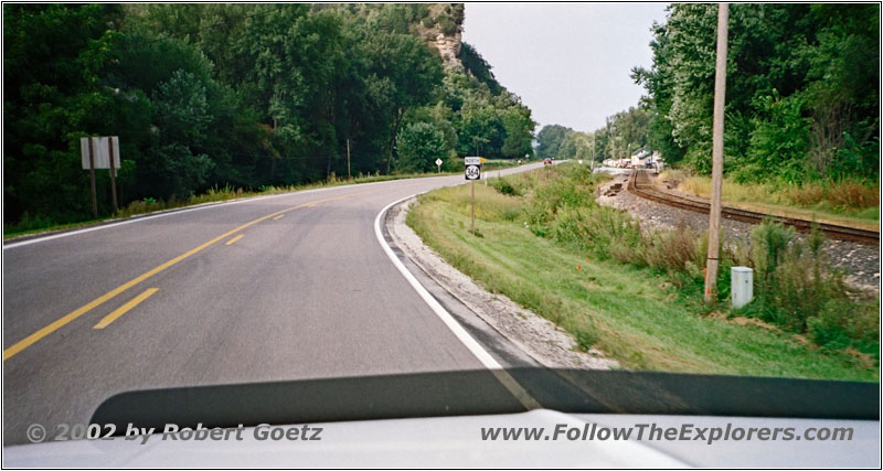
Highway 364, IA
Then I continue my trail to the north. I take Highway 364 and then Road X52 until I reach Red Oak Road. There is a road sign warning that it is a Minimum Maintenance Road. But these are exactly the kind of roads I am looking for and I am anxious to be on this road.

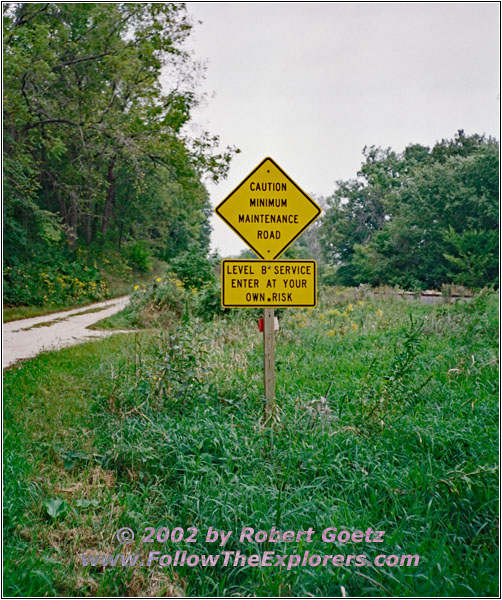
Red Oak Road, IA
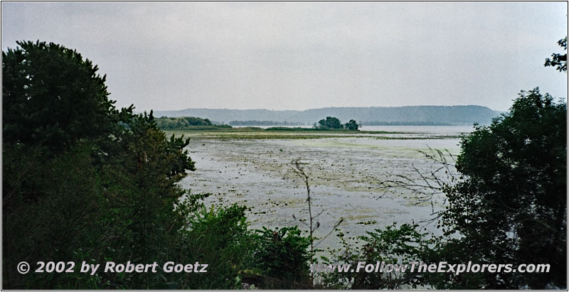
Mississippi River, Red Oak Road, IA
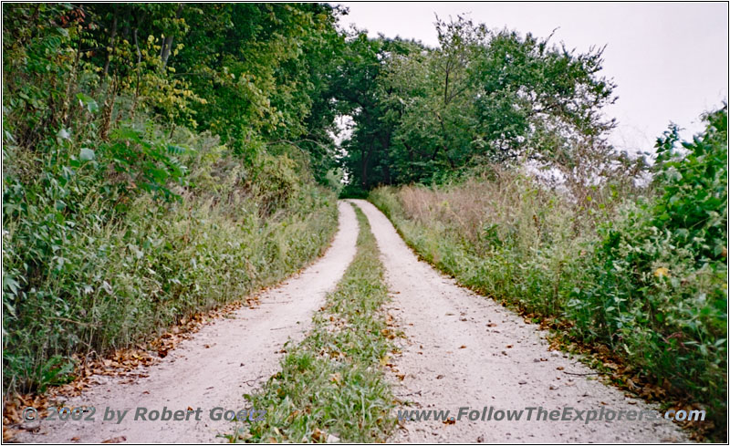
Red Oak Road, IA
The road is pretty grown over. You see that there is only someone driving once in a while. But I have some great views of the Mississippi River from this road. I stop quite often to exit the car for a picture. Way to early this road changes to a nice county road. It is still a dirt road, but well maintained. Also this road leaves the river banks and continues into the country until I reach X52 again.
On this road I reach Lansing. Just before the village shows up the road returns to the Mississippi River banks and I have again some nice river views. Suddenly I hear a weird sound like a horn. It takes a while until I realize that it is my CB radio. There is also a weather radio integrated. When there is a storm warning in the area, the device gives an acoustic signal to switch to the weather channels. I switch from CB to weather radio and wait for the message. In my area is a tornado watch which means the weather is able to build a tornado but there is no one around yet. Otherwise it would have been a tornado warning.
After being reassured with this message I continue my drive. I reach Highway 26 in Lansing which takes me all the way up to New Albin. There is also the state line between Iowa and Minnesota.
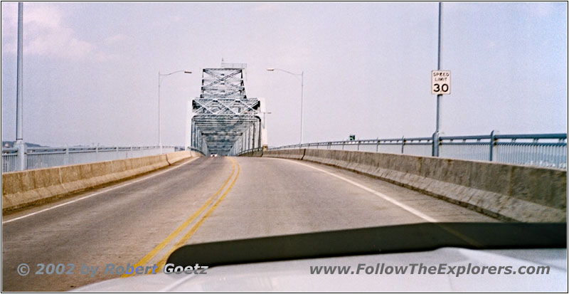
Mississippi River, Highway 14, WI
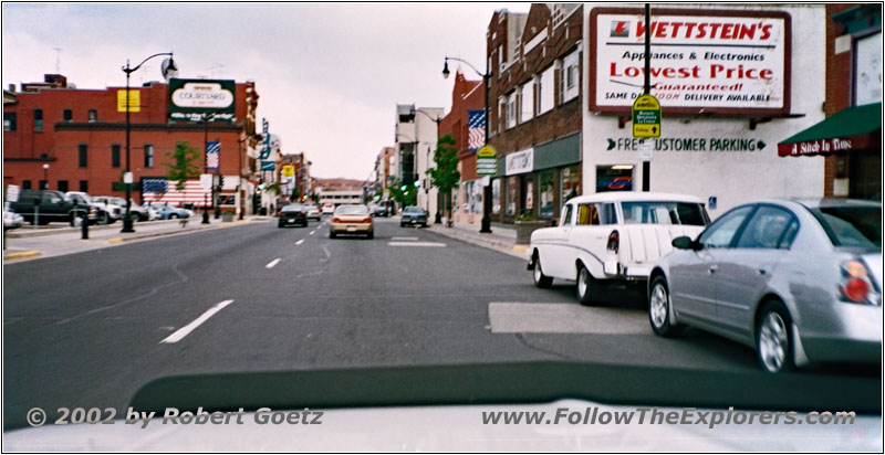
La Crosse, WI
Just before La Crescent I reach Highway 16. This highway takes me to the east banks of the Mississippi River and to my destination of today, the Super 8 in La Crosse. After a little bit of searching around and a drive through the old town I am able to locate the motel. It’s almost six when I enter the motel, but I am still able to get a room on the first floor.
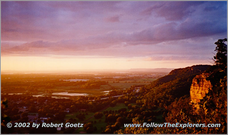
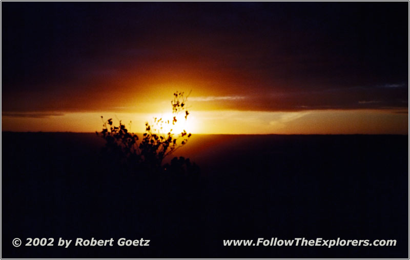
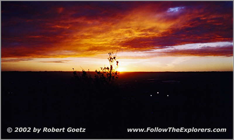
I check the video taping of today. Then I leave for the last destination of today, the Grandad Bluff Park. According to my map I should have nice views of the Mississippi from there and might be the perfect spot for a sunset.
After driving for half an hour I reach the park. It seems that a lot of locals had the same idea like me. It looks like this is some kind of meeting point for locals. I take my camera and walk over to the view point. After I successfully have found a good spot and mounted all my camera stuff I encounter that I forgot my camera bag with spare tapes in my car. So I have to take again everything with me to get the bag. Hopefully no one will catch my perfect spot while I am away.
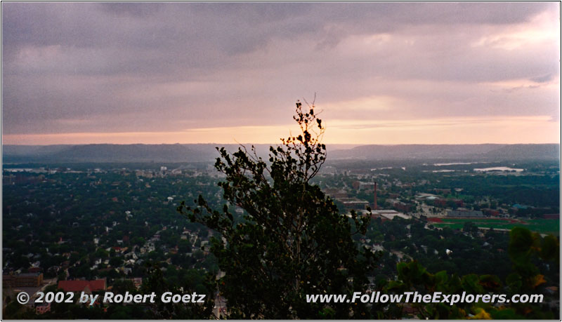
Sunset Grandad Bluff Park, La Crosse, WI
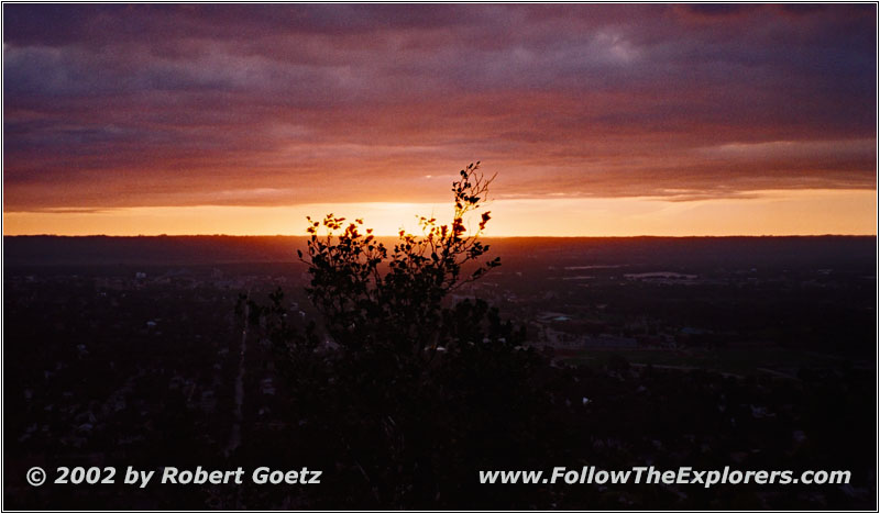
Sunset Grandad Bluff Park, La Crosse, WI
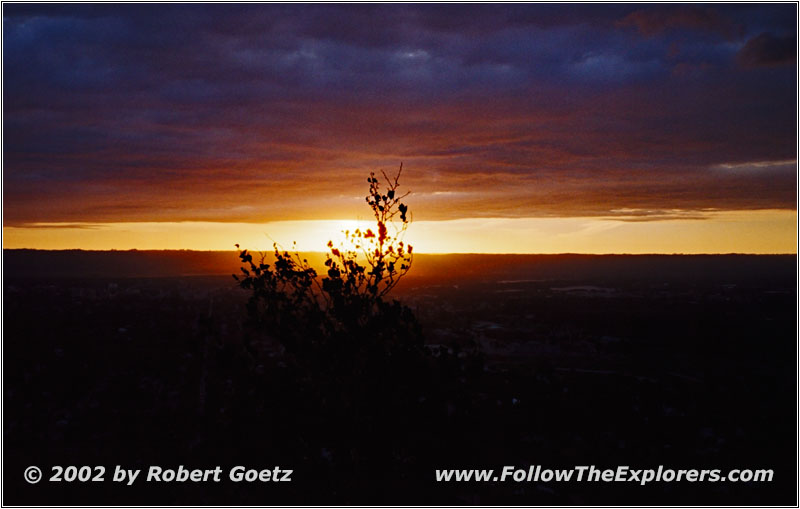
Sunset Grandad Bluff Park, La Crosse, WI
Sunset Grandad Bluff Park, La Crosse, WI

Sunset Grandad Bluff Park, La Crosse, WI
Sunset Grandad Bluff Park, La Crosse, WI
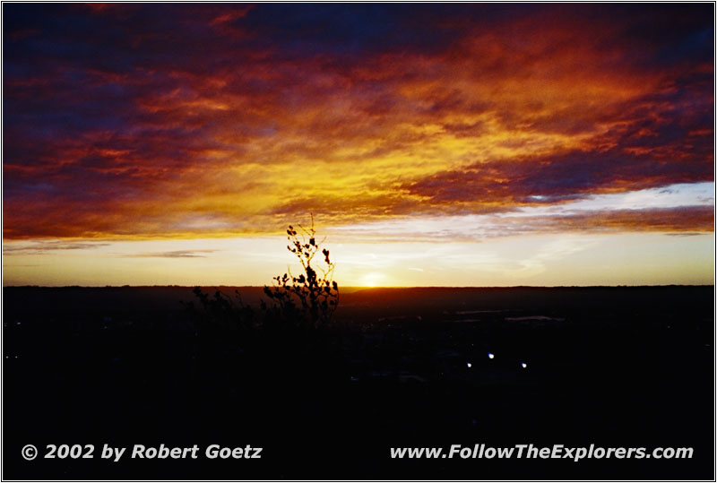
Sunset Grandad Bluff Park, La Crosse, WI
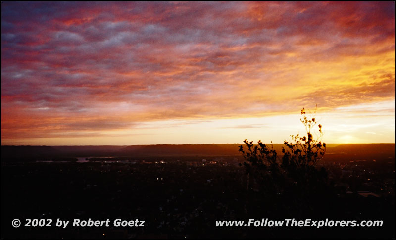
Sunset Grandad Bluff Park, La Crosse, WI
But I am lucky and everyone is sitting at the usual tourist spots. So my little spot stays free. I mount everything back together and wait for the sunset. The clouds give a perfect mood for this scene. I hope everything will work out on video and photo like it is here in reality.
Around eight everything is over and I walk back to my car. In the meantime it is really getting dark. Next I start my search for the Outback Steakhouse, which should be around here (close to Onalaska). Shouldn’t be too difficult, but I have to search around for almost an hour. I am close to giving up when I see the promising sign “Outback Steakhouse”. I enter the restaurant, very happy that I was able to find it. As usual I order my 12 ounce Outback Special. It tastes as great as always. I pay around a quarter to ten and drive back to my motel, this time without long time searching around.
- Sights
- Effigy Mounds (Fee $3)
- Grandad Bluff Park
- General
- Breakfast: The Vale Inn, Boscobel
- Dinner: Outback Steakhouse, La Crosse
- Motel: Super 8, La Crosse
- Distance: 148 miles
