Lewis & Clark Trail
Day 37: September 26th, 1999 Clarkston — Pasco
I am late again today. The plan was to start at eight but I am checking out at eight. I ask for a nice place for breakfast and I receive a voucher for the Waffles ‘N’ More in downtown Lewiston. I almost missed it but recognize the small building just in time. They are pretty busy for a Sunday morning. Seems like they have good breakfast. Their sepciality are homemade waffles (you guessed it…). I have to admit the breakfast is great and plenty. I leave the restaurant before nine and start my journey.
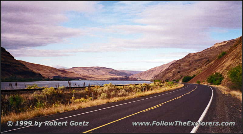
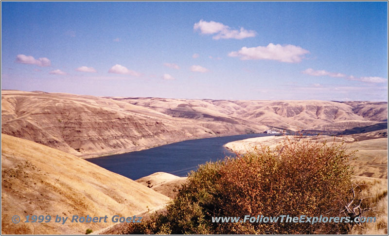
Snake River, Wawawai Road, WA
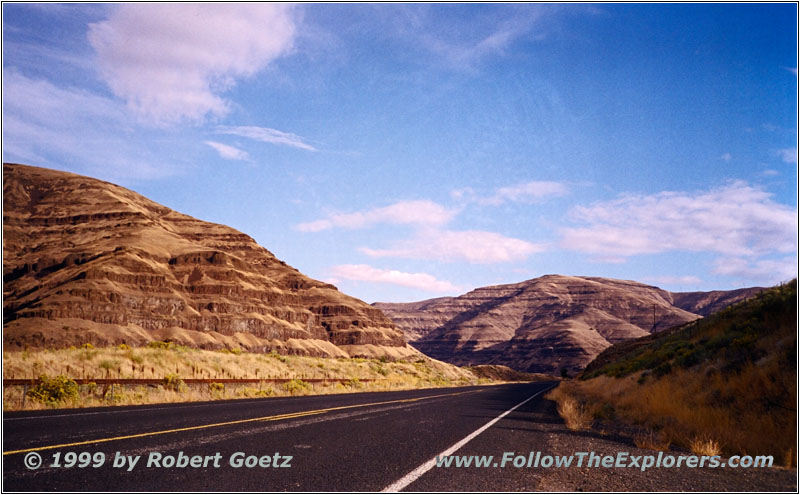
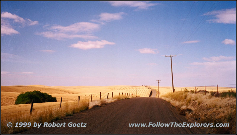
Wawawai Road, WA
My first destinatiopn would have been the Alpowai Interpretative Center at Chief Timothy State Park. But I am already an hour late. I decide to start my tour immediately and skip the visit. I also don’t know how the backroads look like around here and I want to have a little bit of buffer time. I drive back to Clarkston and cross the Snake River. Then I follow Highway 193 which enters seamless the Wawawai Road. The road is still covered with the famous tumbleweed which had been torn out of the hills by the bad weather yesterday. The drive looks more like a slalom when circling around the bushes. But the views of the Snake River and the surrounding hills is a well worth compensation. I am able to drive for 25 miles on a paved and almost empty road along the river banks.
Snake River, WA
The river road ends at Wawawai. It’s only a couple of miles air line distance to Lower Granite Dam. But the road takes me several miles around through the hills in the backcountry. There are the desert hills with almost no vegetation back. Only in river areas everything is green. The rest of the area has a very yellow touch. But it is still fascinating to see. After a while I reach Highway 194 which takes me down to the Snake River and the Lower Granite Dam. The road continues on the other side until it vanishes in the hills again.
Washboard Road, WA
I follow the backroad in the hope to find some nice views of the Snake River valley from above. But this is only at the beginning. Later on the road runs completely between the hills. I drive on until I reach Highway 127. Now I cross the Snake River again and have to follow the highway deep into the backcountry again. After ten miles I am able to hit a backroad to the west.
The guide I bought in St. Louis is right: It is difficult to follow the explorers here. They suggest to stay on Highway 12 which runs through the backcountry to Pasco, far away from the river. But if you try you can find a lot of small backroads which takes you back to the river again and again and you are even able to follow the river several miles before the road returns into the hilly country. Finally I reach Little Goose Dam Road which takes me down to Little Goose Dam.
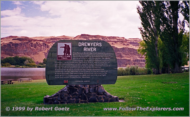
Drewyer Historical Marker, Lyons Ferry State Park, WA
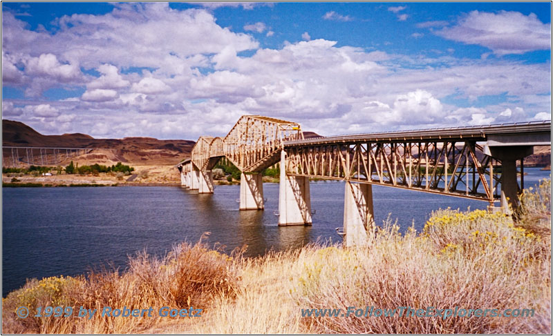
Bridge Highway 261, Snake River, WA
On the other side of the river Highway 261 continues. I cross the Snake River again on this highway to reach Lyons Ferry State Park. There is a historical marker for Drouillard, a memebr of the expedition and always misspelled by Lewis as Drewyer. I take a picture and drive back to the other side of the Snake.
I try again to find a backroad along the river banks. But it is getting more and more difficult. When reaching Lower Monumental Dam and after crossing the river again I am able to follow the river banks on Highway 263. Because of all the dams the river is now very quiet. When Lewis & Clark went down this river in their canoes they had to fight a lot of rapids. At this location one of the canoes sprung leak and they were forced to stop for a while to dry their equipment.
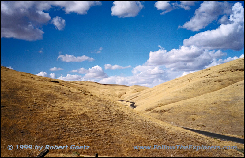
Backroad, WA
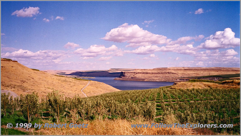
Snake River, WA
I follow Highway 263 and a bunch of backroads along the river banks. In some areas I drive through big apple plantations in the backcountry. You are really tempted to leave the car and grab one of these dark red delicious looking apples. Finally I reach Highway 12 which is almost an Interstate here.
My destination for toady is the Motel 6 in Pasco. I am checking in around half past three. Because of this much time left I decide to explore a bit the Tri–City area: There are three cities build at one location. Across Pasco on the other side of the river is Kennewick. A couple of miles downstream along the Columbia River is Richland. The expedition started the last part of their journey on October 18th, 1805 from this spot: Traveling down the Columbia River to the Pacific Ocean.
While driving through the area I keep looking for a nice restaurant for dinner. But again I am not able to see something nice. I drive back to my Motel and ask the guys there. They recommend the Outback Steakhouse in Kennewick. I almost cannot believe it. I started to think that the Outbacks are only in the east of the States. My dinner is save for tonight. The Outback is located in a shopping center which gives me the opportunity to do my shopping here. Then I am driving back to my Motel. After more than 300 miles on the road I am getting slowly tired.
- Sights
- Lyons Ferry State Park
- General
- Breakfast: Waffles ‘N’ More, Lewiston
- Dinner: Outback Steakhouse, Kennewick
- Motel: Motel 6, Pasco
- Distance: 312 miles
