Lewis & Clark Trail
Day 26: September 15th, 1999 Bismarck — Garrison
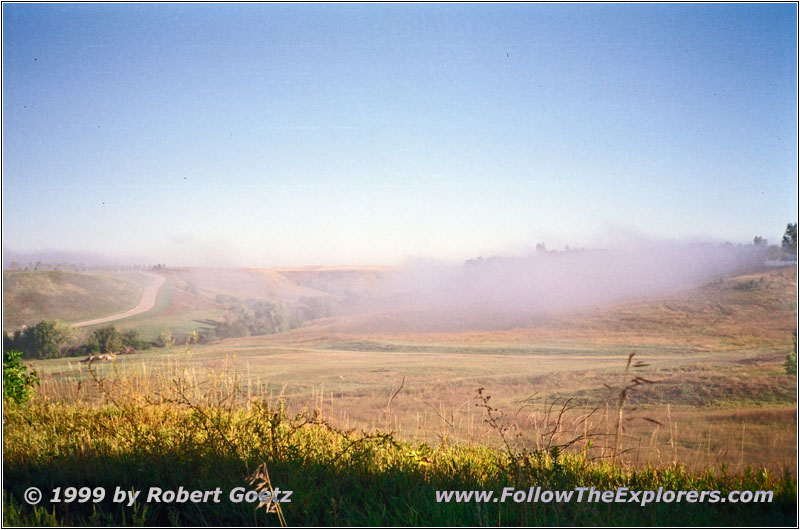
Fog over Missouri River, Highway 1804, ND
Today it will be only a short drive. But I will have five places to visit. I finish breakfast around nine at the Kroll’s Kitchen next to the Motel. The trail takes me first into the Missouri Valley and the River Road.
This is the first time I see fog on the trail. I cross a couple of fog banks which originate at the Missouri. These are great views of the Missouri hidden in fog. Also when I reach Highway 1804 there are still fog banks from the Missouri around. When I reach Highway 83 at Washburn it has warmed up enough and the fog eventually disappears. My first destination is the Lewis & Clark Interpretative Center in Washburn. They show the whole trail with a focus of wintering at Fort Mandan in 1804. Also a replica of the Fort has been build a couple miles further to the north. But this is not the original spot. This lays another couple of miles to the north.
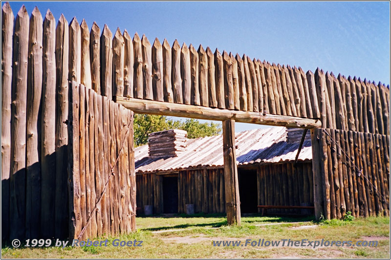
Fort Mandan, ND

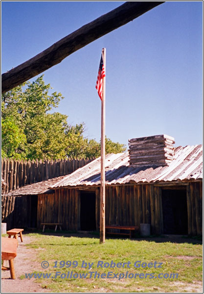
Fort Mandan, ND
I am driving on to reach the replica. When standing at the fort you can get an impression of how it must have felt for the Corps of Discovery to spend the winter for five long months in this very small area. The expedition needed 6 weeks to build the Fort. Sometimes they were only able to work one hour per day due to the extreme cold. They finished the Fort at Christmas Eve. The following winter was one of the hardest in North Dakota. But the moral of the men was extremely good. There were no disputes or fights. The long way they spent together with all the hardship had build a strong group of fellows. They also had a good relation to the Mandan Indians. They were even trading for corn and meat. The blacksmith of the Fort repaired all metal tools and weapons from the Indians in return. Later he also built some small axes. These were so in demand that at the end they had more goods than they needed.
They also met the French trader Touissant Charbonneau and his Indian wife Sacagawea here. Especially Sacagawea should turn out later to be the key for the success of the whole journey. She was born around 1788 as Lemhi Shoshone. At the age of 12 she was captured by Hidatsa Indians. At the age of 16 she was married by the French trader. Both went to Fort Mandan. There she had born her first son, Jean–Baptiste Charbonneau. But Clark only called him “Pomp”.
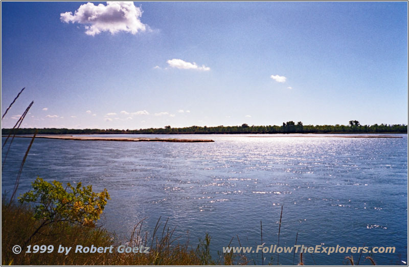
Missouri River, ND
I cross the Missouri on Highway 200 to reach my next destination Fort Clark SHS. But there is not really much to see. No buildings have been saved or re-rected. Only some small signs with numbers show were everything once was. Originally there was an earth mound village of the Mitutanika Mandans built in 1822. In 1838 the Arikara took the village because most of the Mandans died from smallpox. It is assumed that the sternwheeler St. Peter brought the virus to this place in 1837. Only 100 Indians survived from more than 1600!
I cross the railroad and drive back to Highway 200. On Highway 31 I reach the Knife River Indian Villages. I start my tour with a visit of the Interpretative Center. They start the introduction movie only for me. This movie tells a lot about life in these villages. The whole history will be told by a woman called Buffalo Bird Woman who once lived there until 1837 when the smallpox arrived. She went with the survivors to the new settlement Like–A–Fishhook a couple of miles upriver. In 1862 the Arikaras arrived. But in 1885 they were forced to give up the village and to move into the Fort Berthold Reservation. There they live now as the Three Affiliated Tribes. Buffalo Bird Woman had to watch how her own culture was almost extinct. She lived by traditional values as a child. All the knoeledge from the parents was transferred to the children. But within the next years they were forced to give up their own traditional way of living and to adapt to the life of the White Men. It was hard for them to send their children to schools of the White Men were nothing of their own culture was taught. It took many years until it was recognized that it is necessary to preserve the Indian culture and their way of living.
An earth mound has been built in the area exactly to the memories of Buffalo Bird Woman. Inside are the sleeping areas and the places for the guests. There is also a cooking place. Like in the original the entrance is closed by buffalo skins. Also there is one of the small boats build from wood and buffalo skin. After the visit of the earth mound I hike down to Knife River. On the way are a couple of other mounds which already collapsed. These are the original remnants of the village.
At half past three I start to reach my last destination of today: Garrison Dam. I follow a small Backroad which brings me back to Highway 200. This highway takes me all the way to the dam. The building started in 1947 and finished in 1954. It costed approx. 294 Million Dollars! The lake behind has been named in honour of the Indian guide Lake Sakakawea. It is one of the biggest human made lakes in the US. It is 178 miles in length and between 2 and 3 miles in width. The dam also has 28 controlled gates. They can be opened if the water rises to the top. Every vent is 40 feet wide and 30 feet high. If they are opened up around 4.9 Million gallons per second will flow with a speed of up to 75mph out of the dam.
After a brief stop I drive on. I am still good in time. Therefore I drive on to Garrison instead of spending the night in Riverdale. I cross Lake Sakakwea on Highway 83 and turn onto Highway 37. It doesn’t take long to find a motel in Garrison. The Garrison Motel looks very nice and has a reasonable price. It looks like I don’t have to be always with the big Motel chain to get clean and reasonable priced rooms. I also ask for a place for dinner and the employee recommends the Stoney End Restaurant.
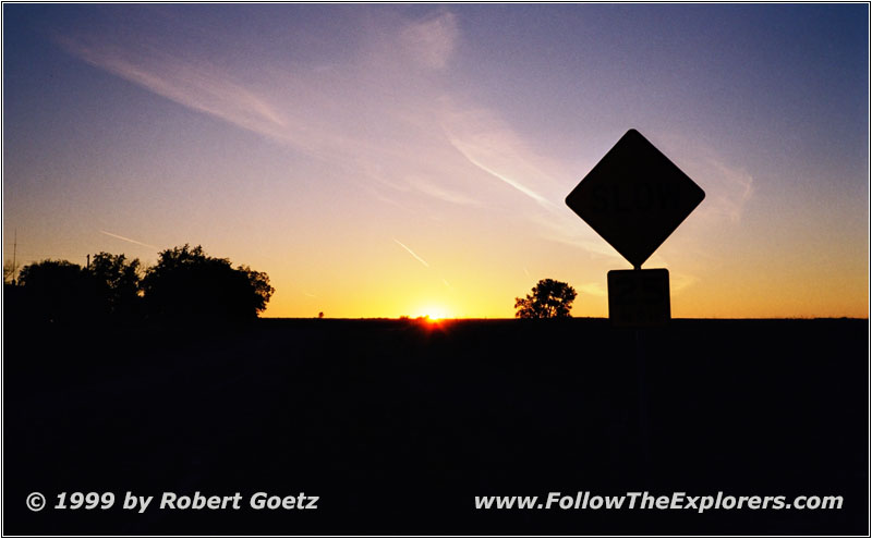
Sunset Garrison, ND
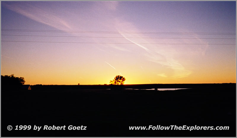
Sunset Garrison, ND
I take a look at my camera in the room. I assume something is wrong with the film transportation. And the film really got stuck. I will encounter later that almost all pictures of today were lost. I put in a new roll and drive to the Stoney End Restaurant. I have a great steak and apple cake as desert. It’s a nice restaurant, but a bit pricy. I leave the restaurant around eight and see a nice sunset is starting. I jump into the car and try to find a place for some nice shots. Then I drive back to the Motel. I will have to start early tomorrow. I ask the employee were I might have breakfast tomorrow around half past six. He recommends a small restaurant next to the gas station. They start early with breakfast there.
- Sights
- Lewis & Clark Interpretative Center
- Fort Mandan
- Fort Clark State Historic Site
- Knife River Indian Village
- Garrison Dam
- General
- Breakfast: Kroll’s Kitchen, Bismarck
- Dinner: Stoney End Restaurant, Garrison
- Motel: Garrison Motel, Garrison
- Distance: 137 miles
