First Jedediah Smith Trail 1822 — 1824
Day 15: August 30th, 2009 Cedar Pass (Badlands National Park)
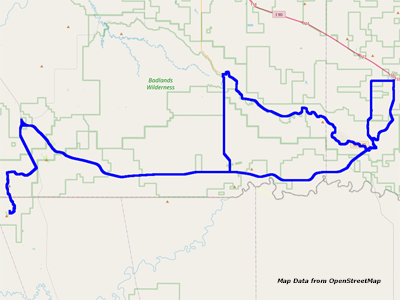
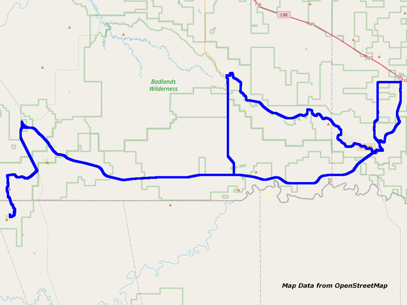
Map Cedar Pass to Sheep Mountain Table
Today is my last day in the Badlands. I wake up again just before seven in the morning — and one time during the night when the coffee wanted to get out. After taking a shower, I walk over for breakfast again. Around nine I am there but not the nice hostess. My server takes over this job — and now I don’t receive a window table. Well, too bad…
I choose again the Rancher and three cups of coffee later I walk back to my cabin. I put again some sunscreen on, whereas I am not sure yet if I will do any hiking due to my aching thighs. Then I pack my stuff into the car and leave just past ten.
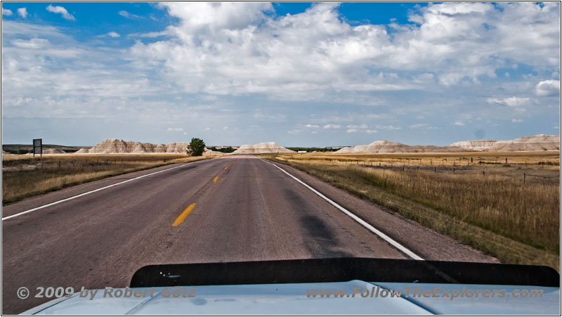
Highway 44, SD
First I drive to Interior to gas up. As low as my gas gauge is reading, I don’t want to take any chances. The gas station calls itself funnily enough Cowboy Corner. The pumps are definitely ancient with a mechanic display as you remember from the old movies out of the 70s. And you must pay before you gas up. So I walk inside and hand out my credit card as deposit. Then I walk outside again to gas up.
I park a bit unfavorable. Therefore I move a little bit forward that the nozzle will not be too short. When I want to take the nozzle, a pretty weird looking guy starts talking to me. He was in the army and somehow this has left a permanent damage. He seems not to really be in this universe. He wants to know where I am from. When he hears Germany he happily says, that he also was there before. And surely he asks if I have served the army. Sure, Air Force. Then his buddy calls him and he says good–bye with a military salute. I play his game and eventually I am able to take care of my pump.
But somehow I am not able to get any gas out. Then the gas station lady walks out and asks if I have lifted up the lever. Damn, this is embarrassing! It’s definitely not the first time that I gas up in the US. But this other guy made me totally nut. Eventually I am done and the lady looks almost astonished that I took gas for $45. Well, the gas tank was almost empty…
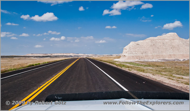
Highway 44, SD
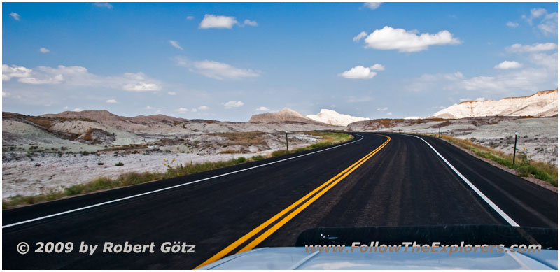
Highway 44, SD
Then I hit the road. First, I want to drive to Sheep Mountain. Therefore I take again Highway 44 like yesterday, just in the other direction. At Scenic I turn to southern direction — and I am really glad that I didn’t drove over here yesterday. There is absolutely nothing in this village.
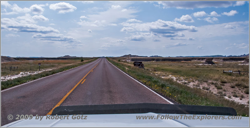
Bombing Range Rd, SD
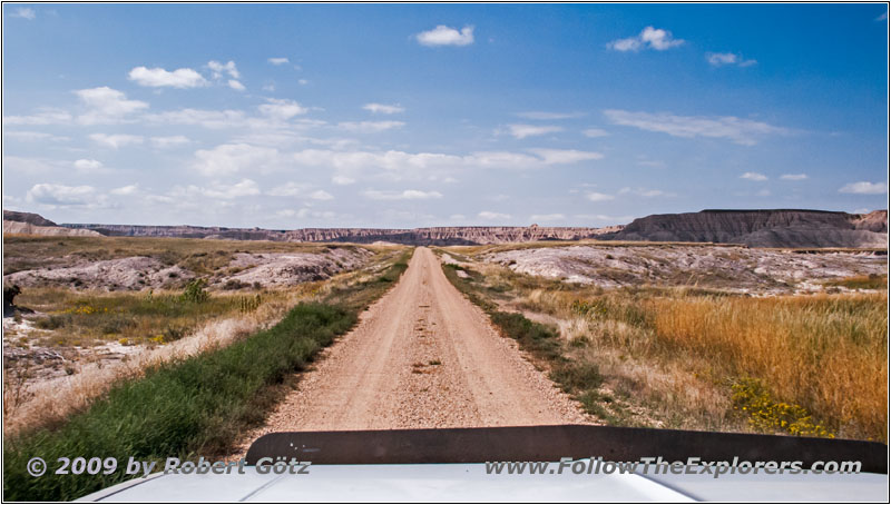
Sheep Mountain Rd, SD
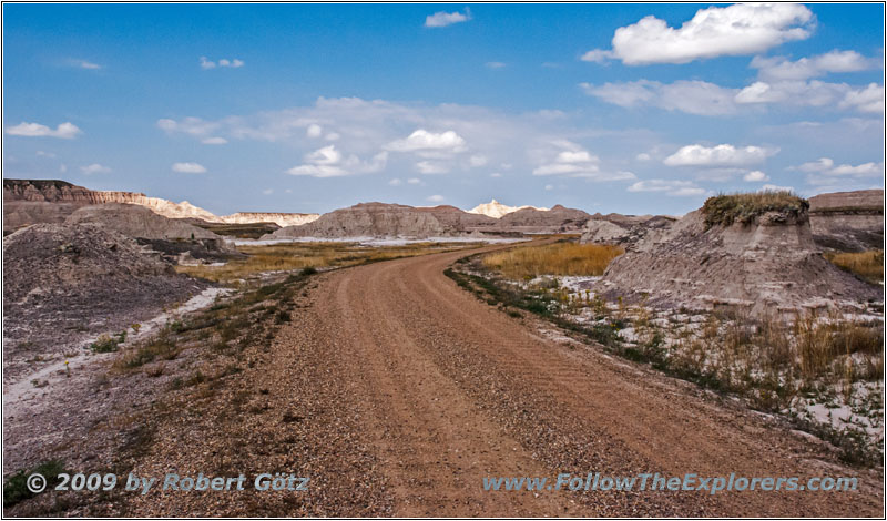
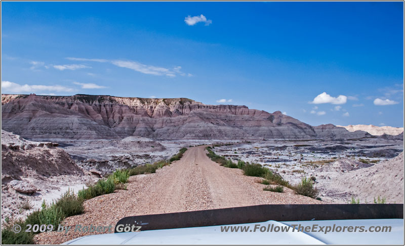
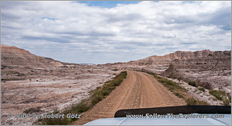
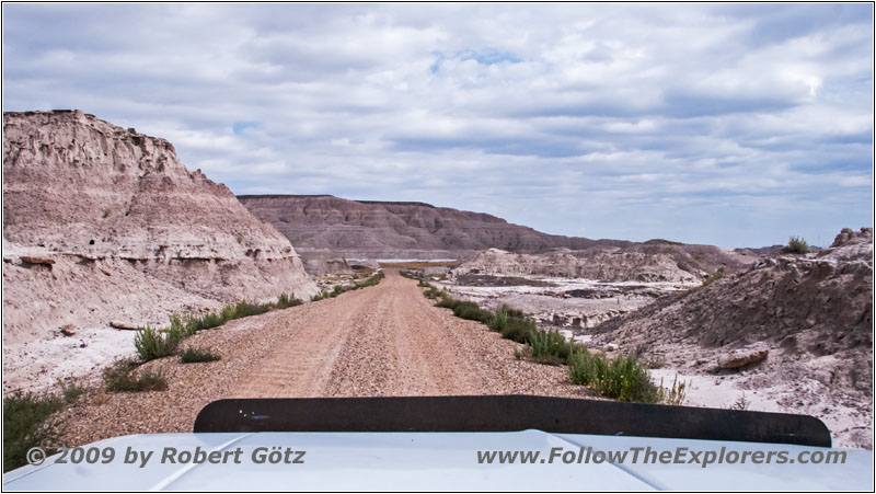
I drive quite a distance to the south before I reach the southern end of the park and the exit to Sheep Mountain Road. This is a one lane gravel road with a bunch of washboard sections. So you should drive at least 30mph to be able to proceed.
Sheep Mountain Rd, SD
Sheep Mountain Rd, SD
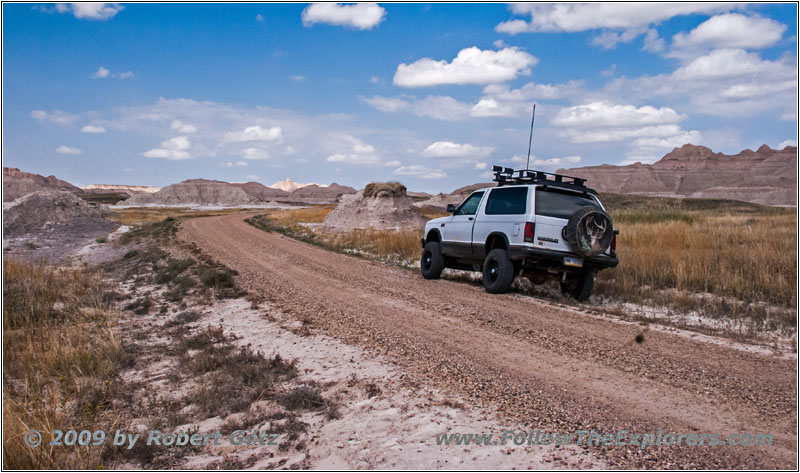
88 S10 Blazer, Sheep Mountain Rd, SD
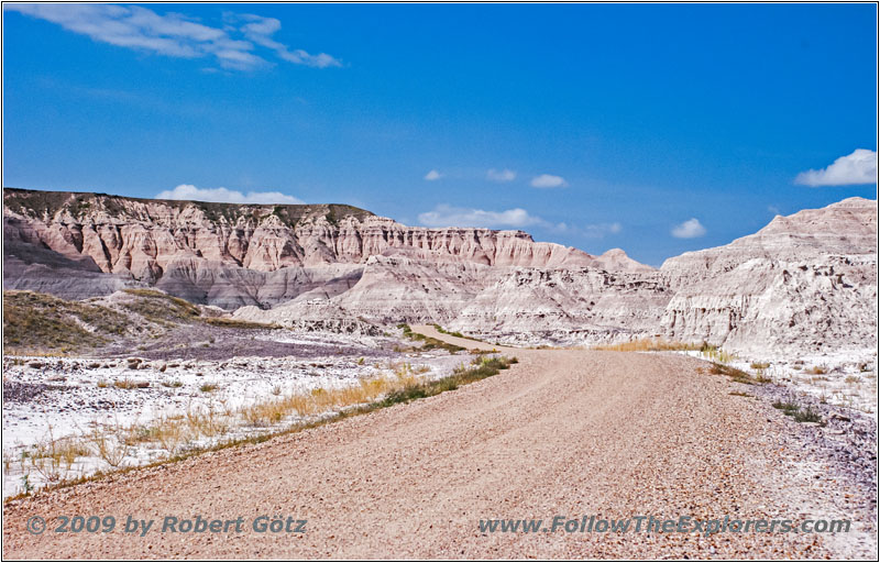
Sheep Mountain Rd, SD
Sheep Mountain Rd, SD
Sheep Mountain Rd, SD
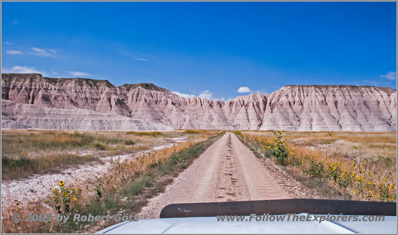
Sheep Mountain Rd, SD
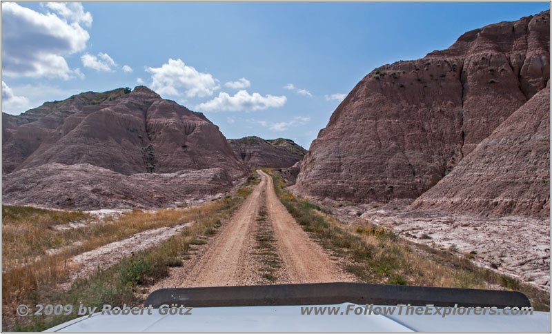
Sheep Mountain Rd, SD
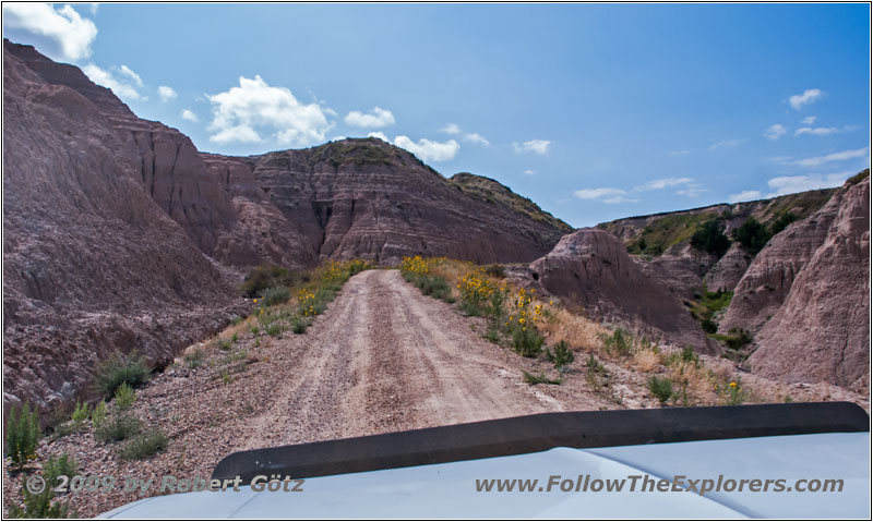
Sheep Mountain Rd, SD
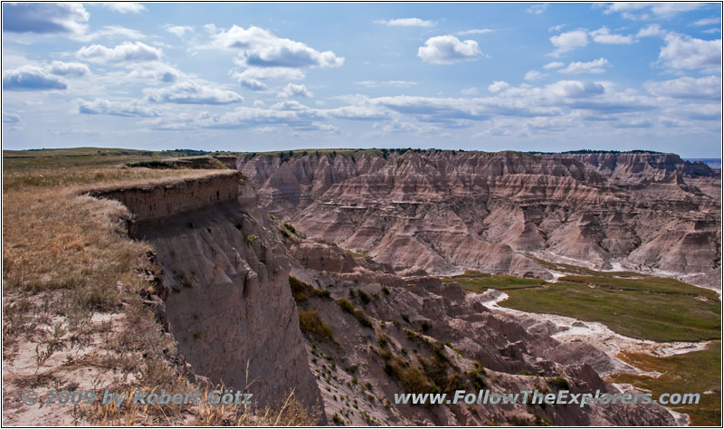
Sheep Mountain Rd, SD
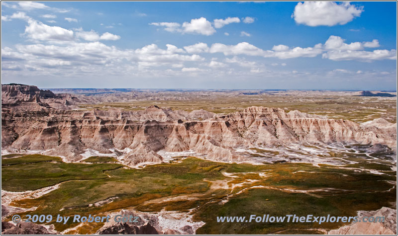
Sheep Mountain Rd, SD
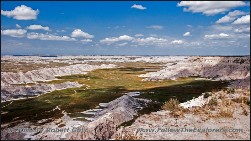
Sheep Mountain Rd, SD

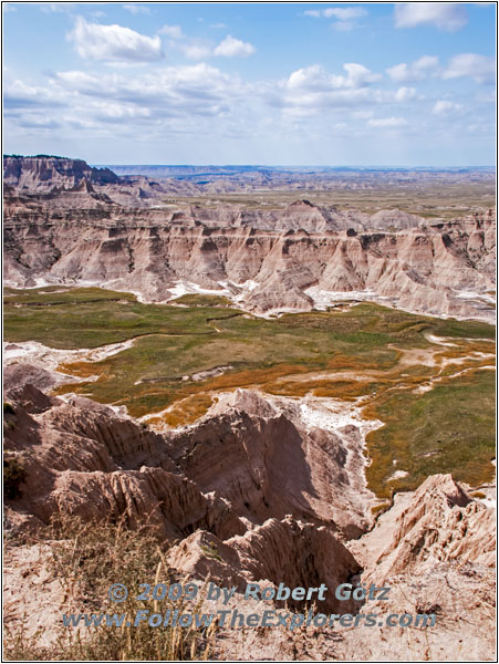
Sheep Mountain Rd, SD
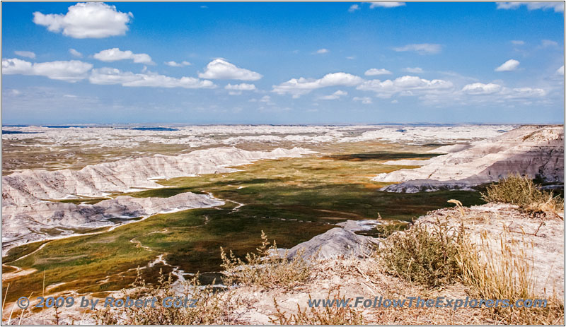
Sheep Mountain Rd, SD
Sheep Mountain Rd, SD
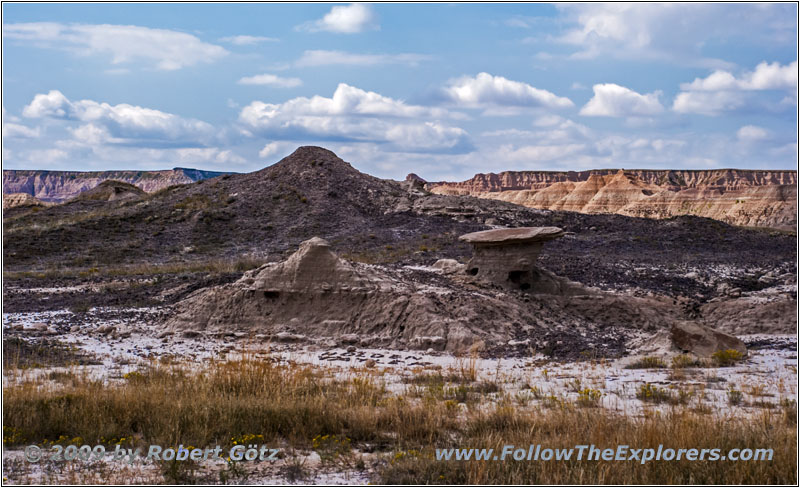
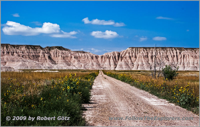
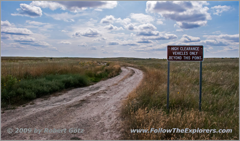
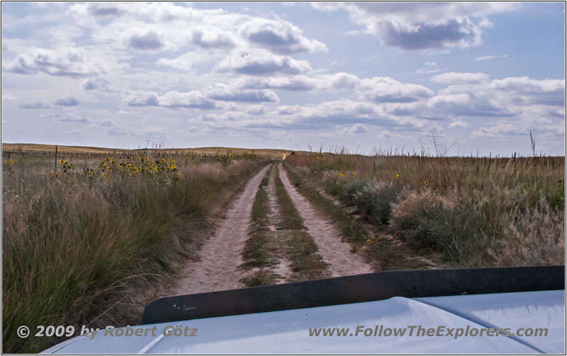
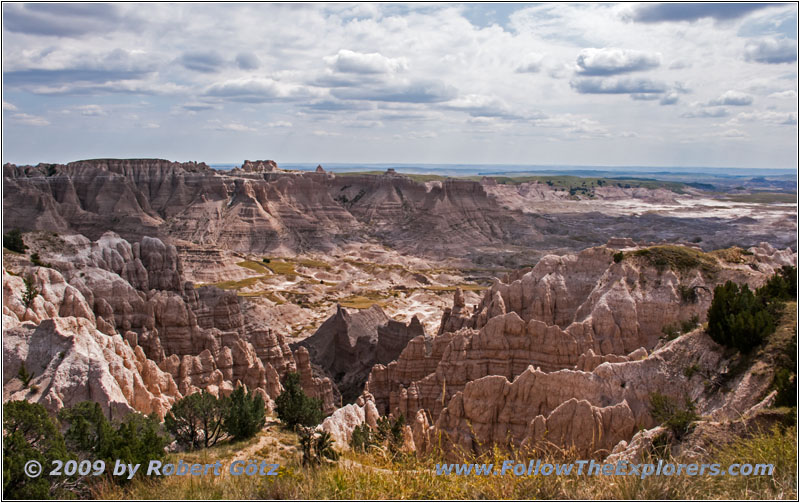
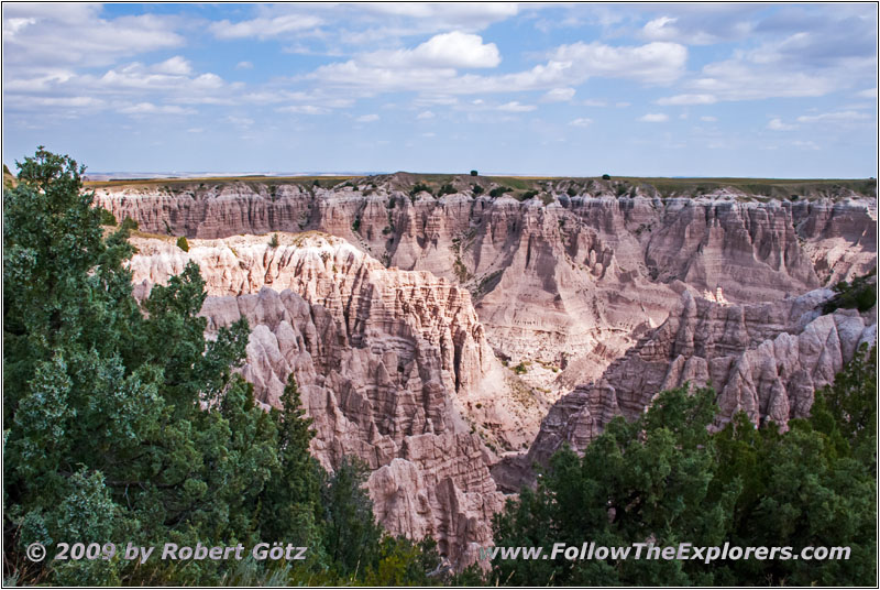
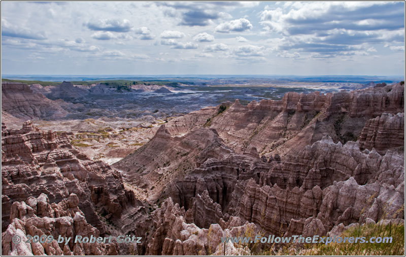
Also here I drive through a great landscape and because there is not really much traffic you can even stop for a couple of pictures. Finally, the road takes you up through a canyon to an upper plain. From there are you have a couple of nice views down into the valley. Then you reach another viewpoint from where you can only continue with a High Clearance Vehicle. There I stop for a couple of pictures before I continue.
Sheep Mountain Rd, SD
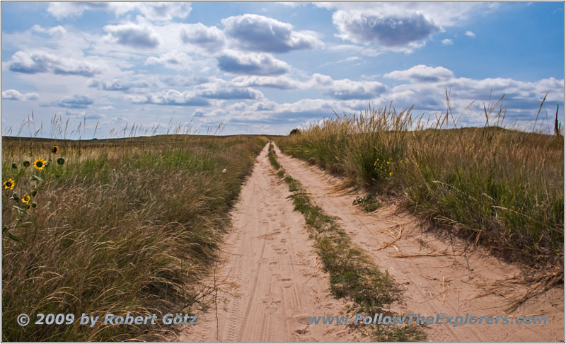
Sheep Mountain Rd, SD
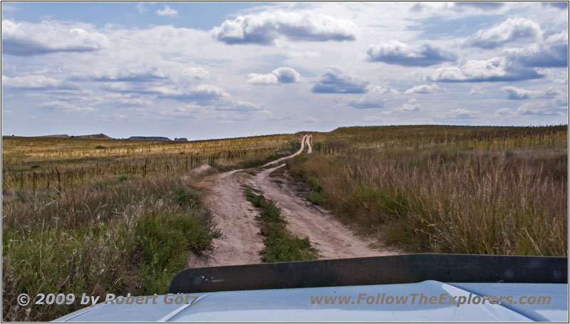
Sheep Mountain Rd, SD
Sheep Mountain Rd, SD
Sheep Mountain Rd, SD
Sheep Mountain Rd, SD
Sheep Mountain Rd, SD
Sheep Mountain Rd, SD
Sheep Mountain Rd, SD

Sheep Mountain Rd, SD
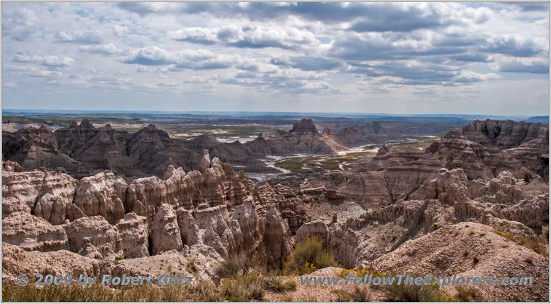
Sheep Mountain Rd, SD
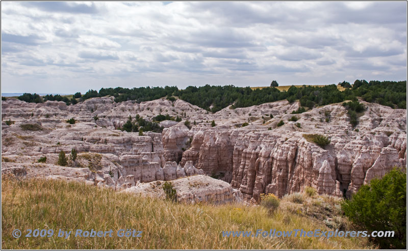
Sheep Mountain Rd, SD
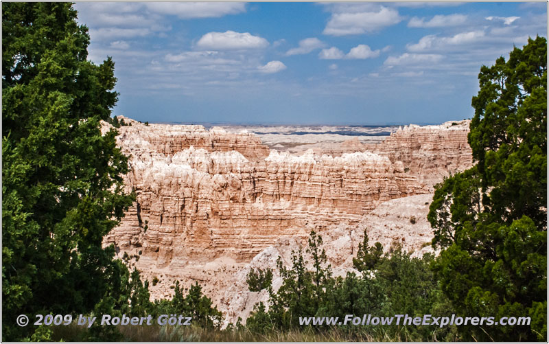
Sheep Mountain Rd, SD
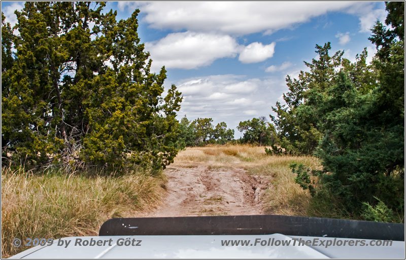
Sheep Mountain Rd, SD
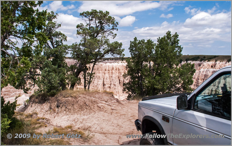
88 S10 Blazer, Sheep Mountain Rd, SD
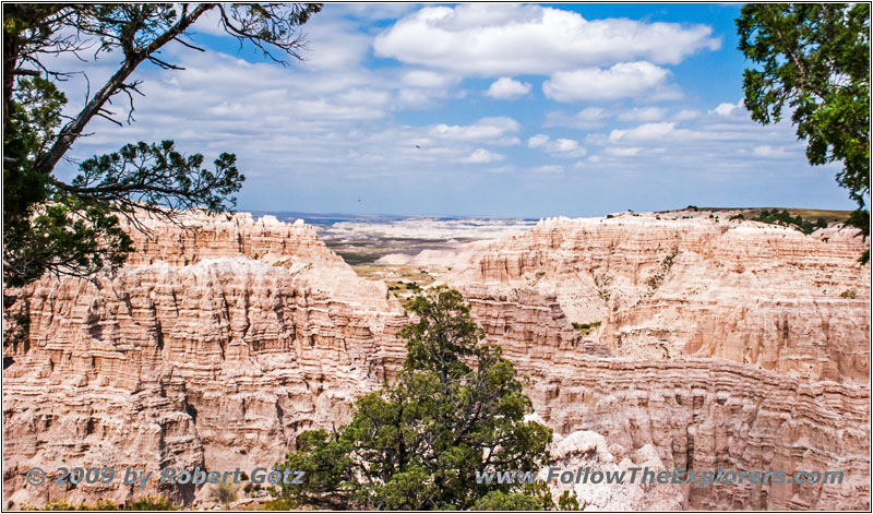
Sheep Mountain Rd, SD

Sheep Mountain Rd, SD
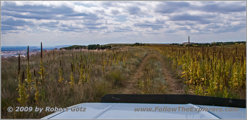
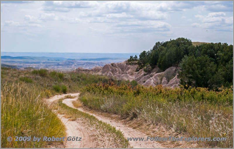
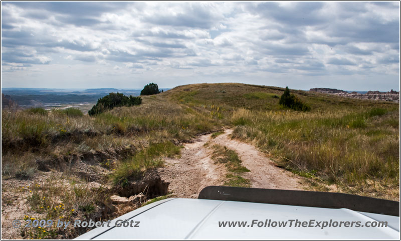
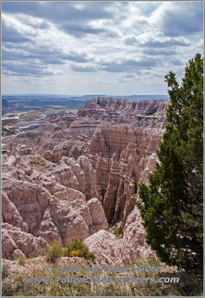
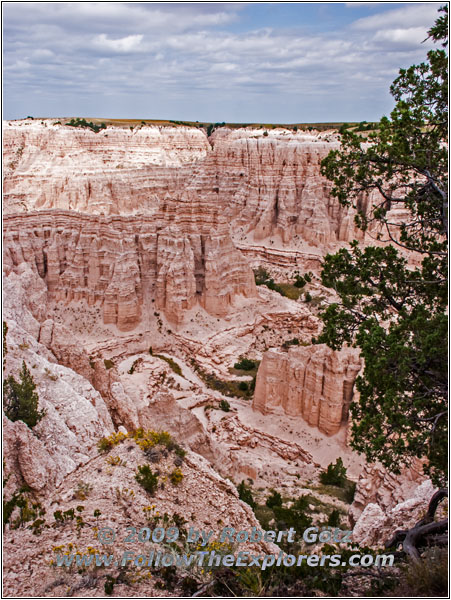
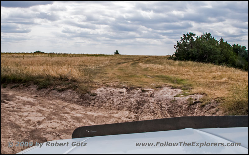
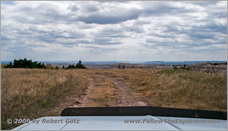
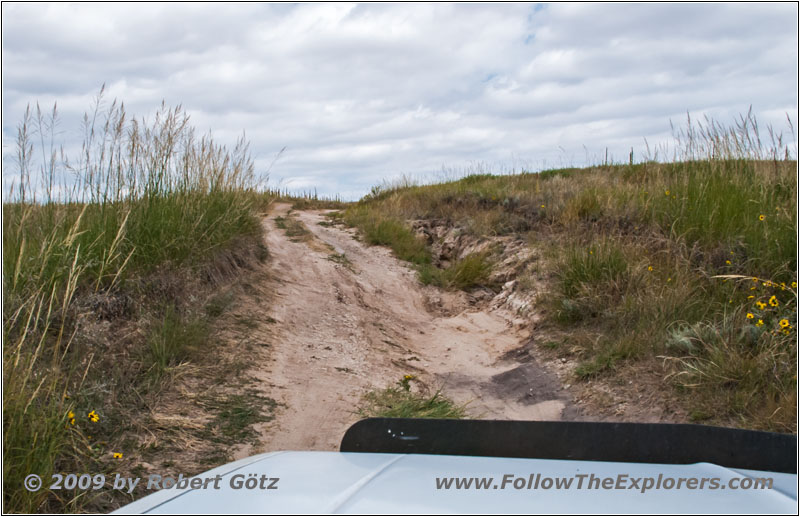
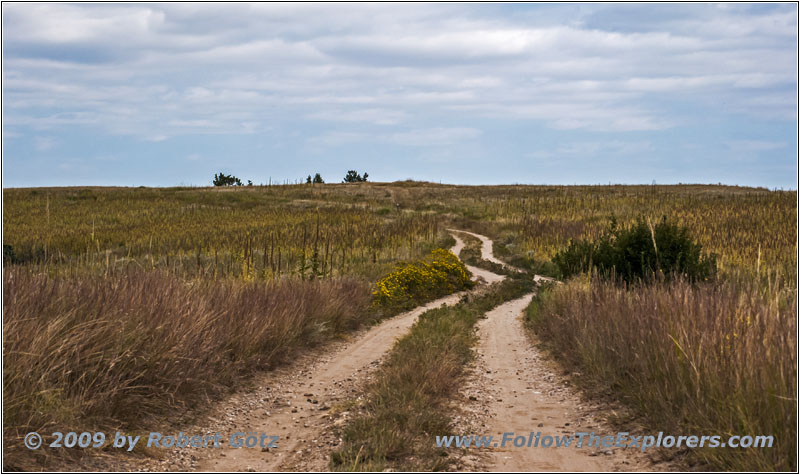
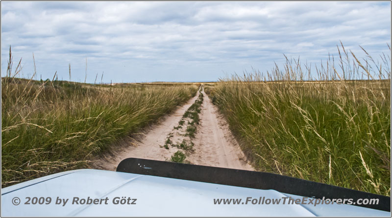
The beginning is pretty easy. But then the first sections start with 15 to 20 degrees tilting. This feels definitely very uncomfortable. Then the road eases and you have to circle around a bunch of washouts until you can take a quick side trip to the rim. From there you have great views into the valley. This way I continue until I reach the end of this trail. There is only a big tree standing at the end of the road. Otherwise you would probably drive directly down the hill!
Sheep Mountain Rd, SD
Sheep Mountain Rd, SD
Sheep Mountain Rd, SD
Sheep Mountain Rd, SD
Sheep Mountain Rd, SD
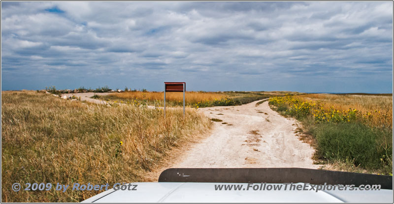
Sheep Mountain Rd, SD
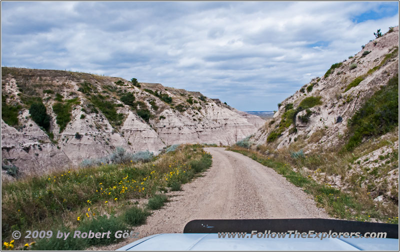
Sheep Mountain Rd, SD
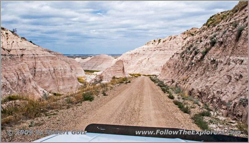
Sheep Mountain Rd, SD
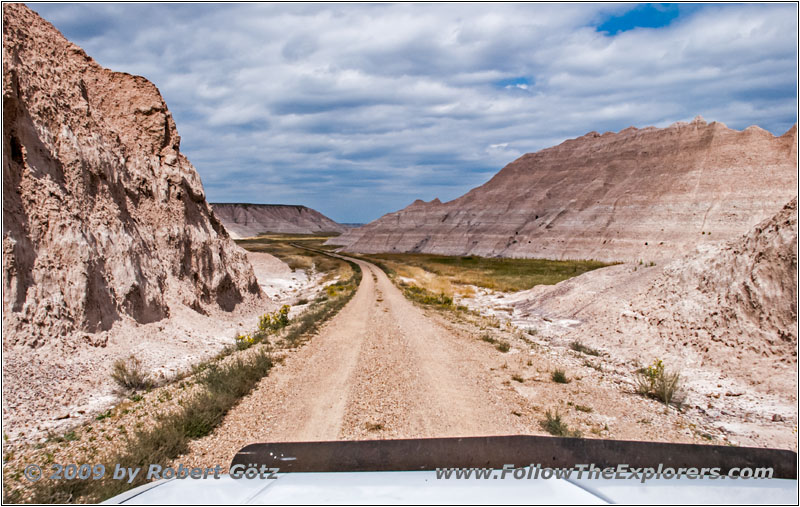
Sheep Mountain Rd, SD
Sheep Mountain Rd, SD
Sheep Mountain Rd, SD
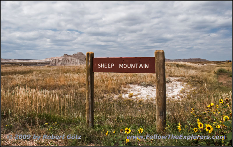
Sheep Mountain Rd, SD
I park there and use this spot to have my lunch break — and a couple of picturesque shots. Then it’s time to drive back. On my way back I take the one critical washout way better and have almost no issues getting up. In the other direction I was almost afraid of tipping over. This also seems to confirm that going up is usually easier than going down.
Now I make good progress. On the “regular” road there is indeed way more oncoming traffic. You definitely can tell that today is Sunday.
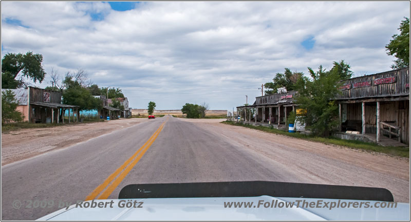
Main St, Scenic, SD
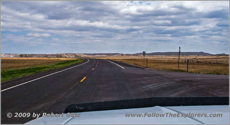
Highway 44, SD
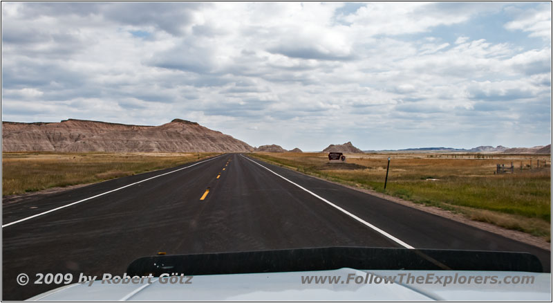
Highway 44, SD
Now I am continuing on highways on my way back.
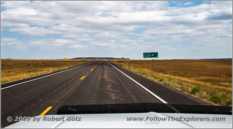
Highway 44, SD
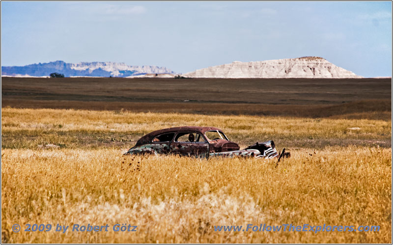
Oldtimer Wreck, Conata Basin Rd/CR 509, SD
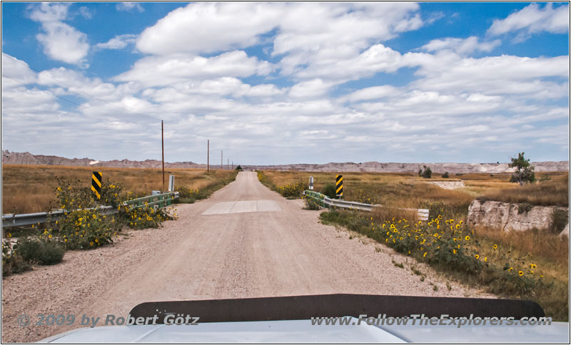
Conata Basin Rd/CR 509, SD
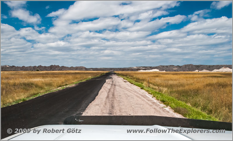
Conata Basin Rd/CR 509, SD
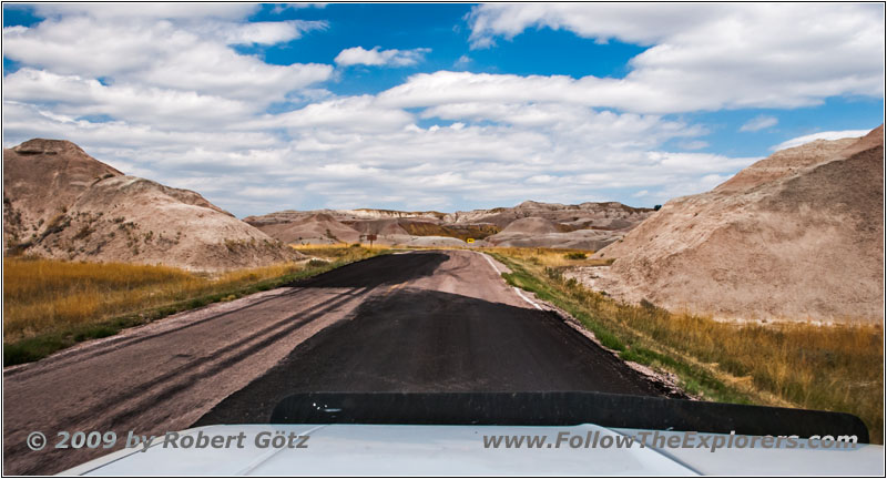
Conata Basin Rd/CR 509, SD
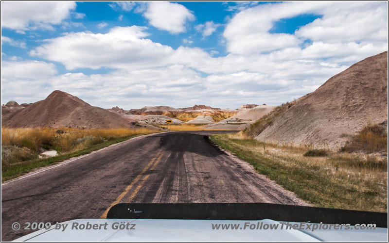
Conata Basin Rd/CR 509, SD
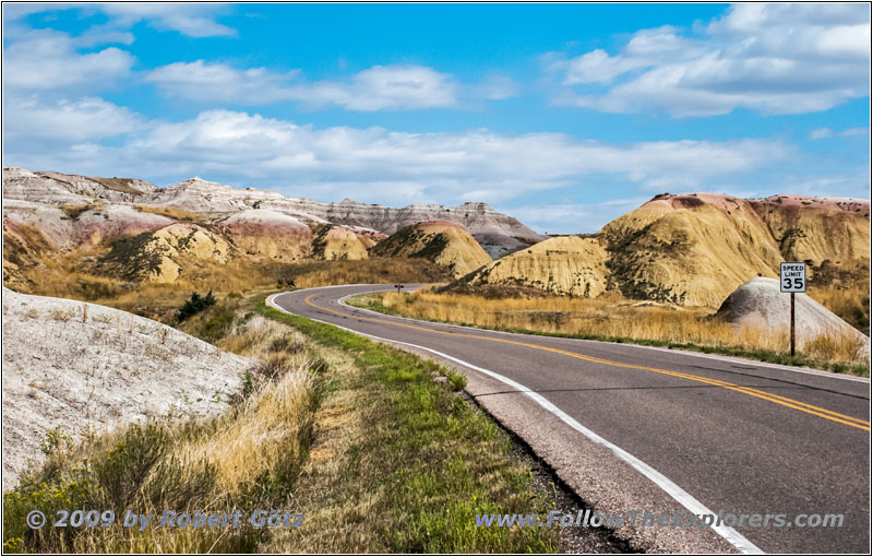
Highway 240, Badlands National Park, SD
But at Conata I plan to enter the park on backroads. However, what is written as “Conata” in the map is just an accumulation of a couple of stones and old machinery — and one totally rusted antique car from the 50s. From this one, I quickly take a picture. This looks really great in the foreground.
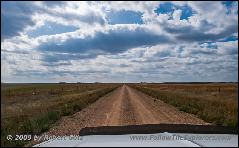
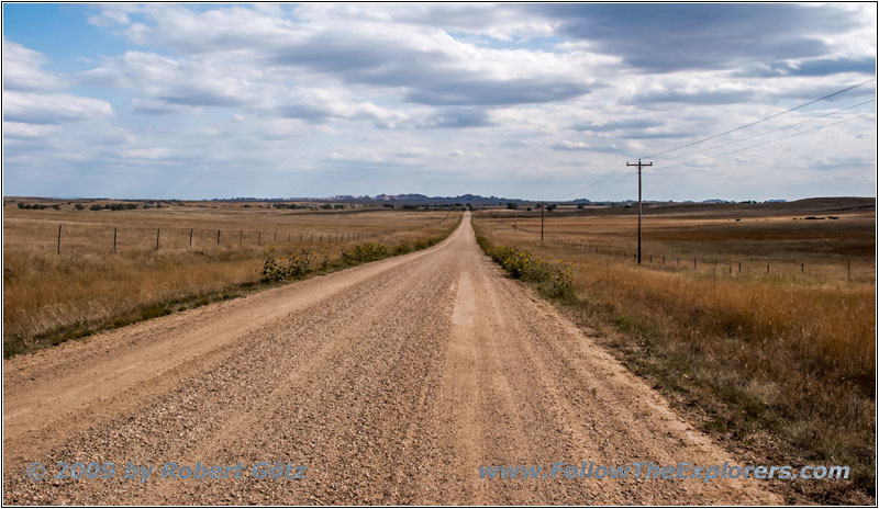
Then I continue on the gravel road, passing the hint that you must pay an entrance fee for the park — oh yes, I would like to do that. Finally I arrive really at an entrance station — but which is not occupied. A sign says I should pay when leaving the park. It seems this will never work out.
So I continue until I reach the Loop Road. At a good spot I stop and think about what I can do next. The plan to do some hiking will not work out with my aching thighs. So I check out where else I could drive. There is still an old backroad that enters the park from the north side. This was the former Northeast Entrance Road.
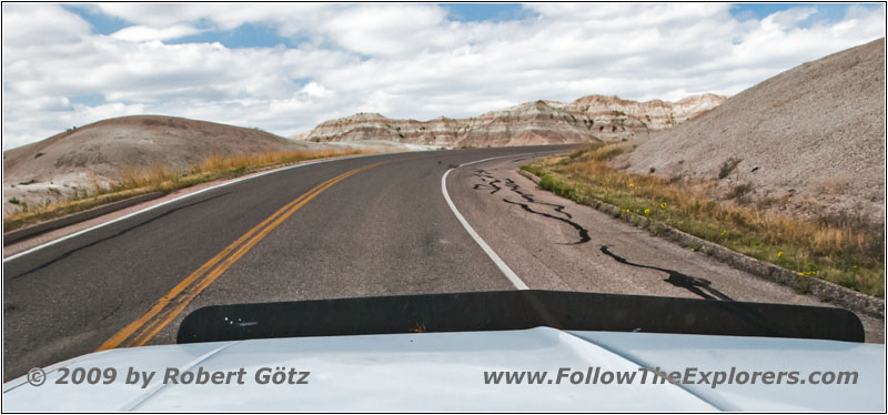
Highway 240, Badlands National Park, SD
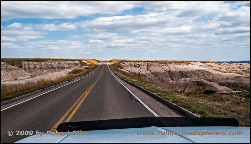
Highway 240, Badlands National Park, SD
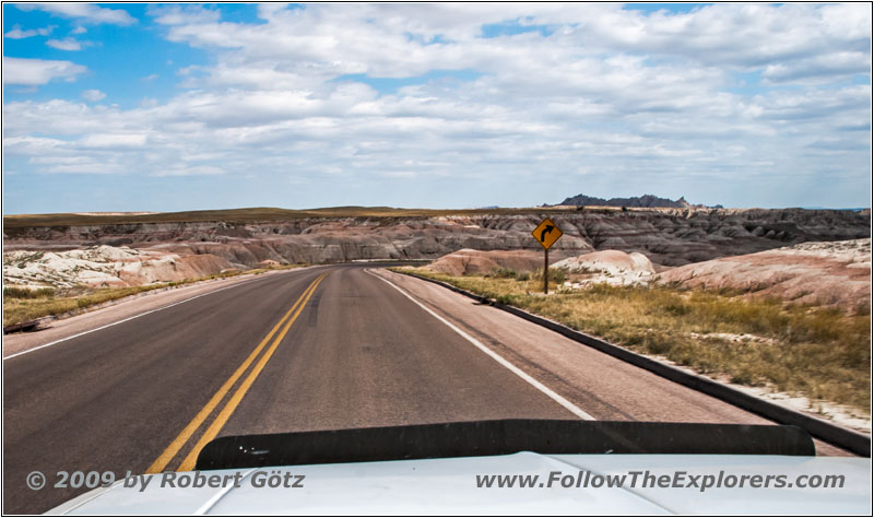
Highway 240, Badlands National Park, SD
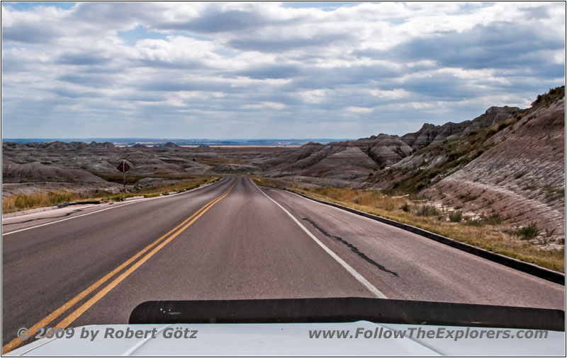
Highway 240, Badlands National Park, SD
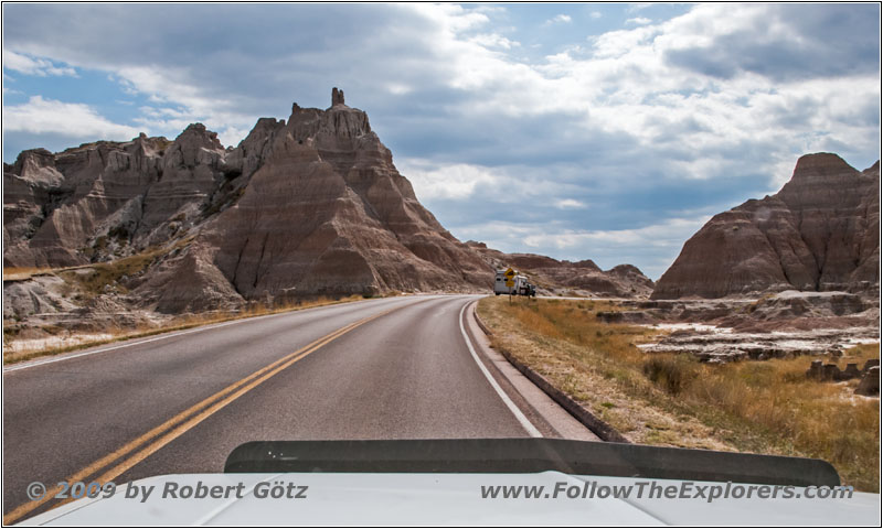
Highway 240, Badlands National Park, SD
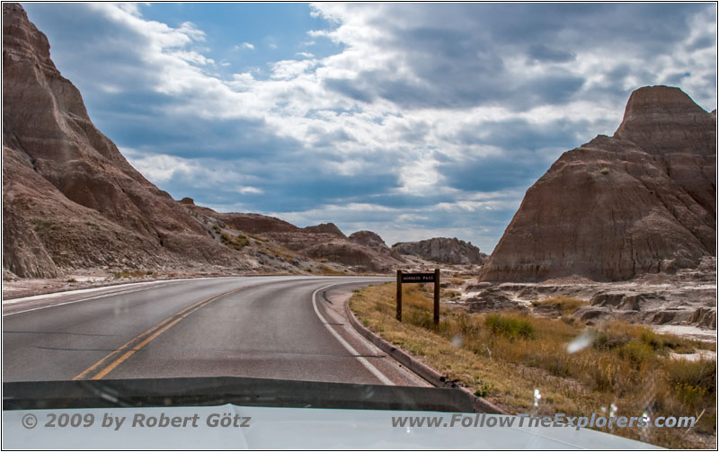
Norbeck Pass, Highway 240, Badlands National Park, SD
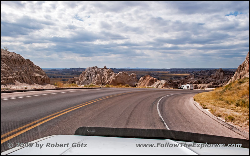
Highway 240, Badlands National Park, SD
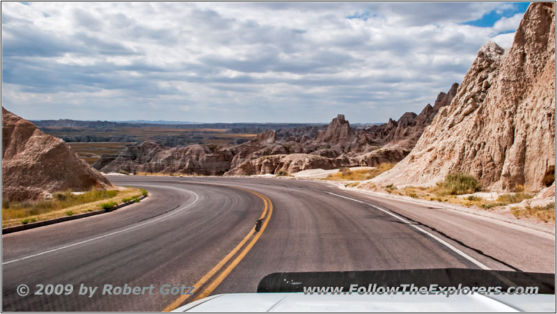
Highway 240, Badlands National Park, SD
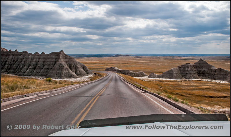
Highway 240, Badlands National Park, SD
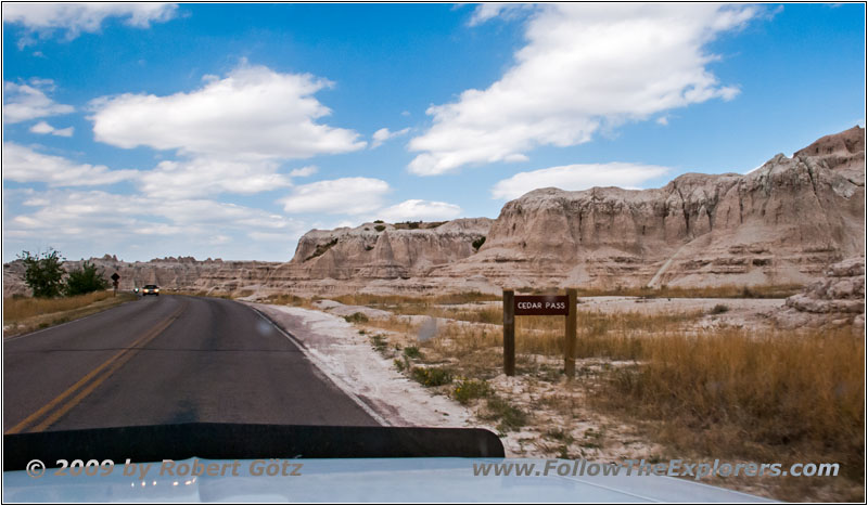
Highway 240, Badlands National Park, SD
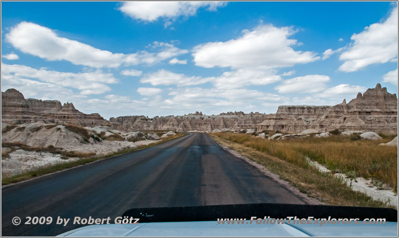
Highway 240, Badlands National Park, SD
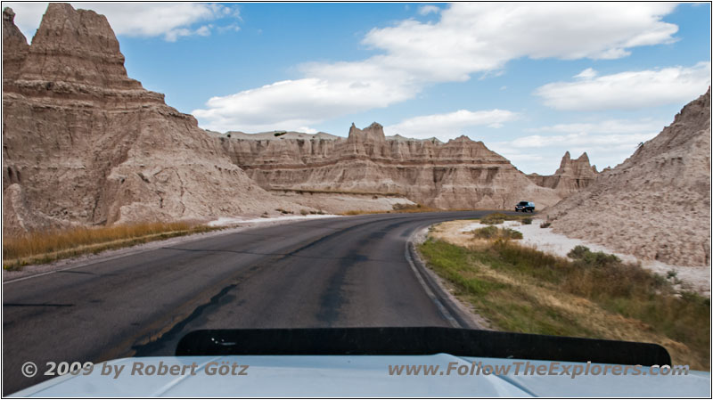
Highway 240, Badlands National Park, SD
So I take the main road through the park in northern direction.
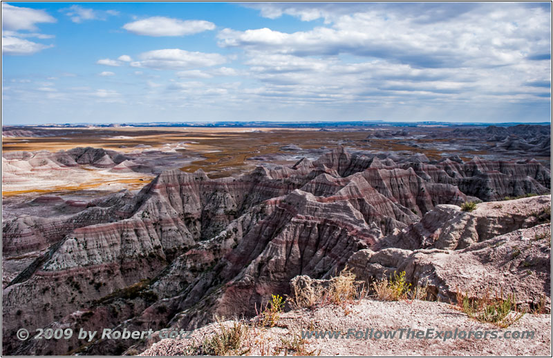
Big Badlands Overlook, Badlands National Park, SD
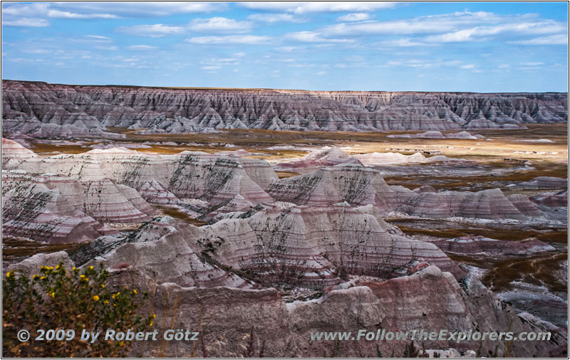
Big Badlands Overlook, Badlands National Park, SD
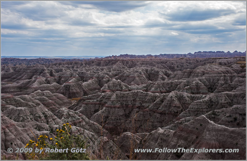
Big Badlands Overlook, Badlands National Park, SD
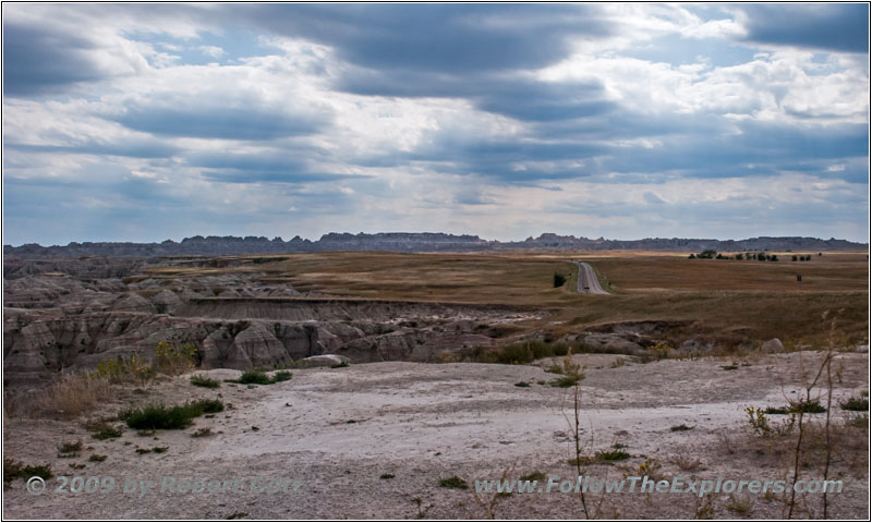
Big Badlands Overlook, Badlands National Park, SD
While being there I also visit the last overlook where I have not stopped before. Then I leave the park — and pass again an entrance station. But there is also again written “Proceed”. So I drive on. It’s too late when I realize that there was a ranger sitting in. Oh well, now I have left. I continue on the highway almost up to the Interstate.
Old Northeast Rd/Ch 11, Badlands National Park, SD
Old Northeast Rd/Ch 11, Badlands National Park, SD
Old Northeast Rd/Ch 11, Badlands National Park, SD
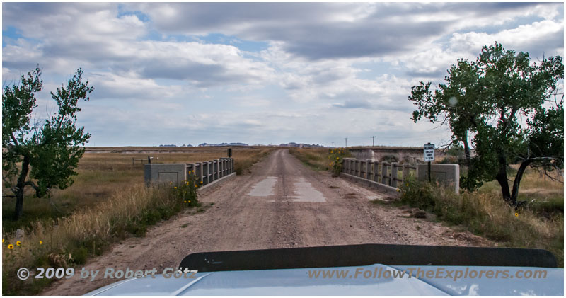
Old Northeast Rd/Ch 11, Badlands National Park, SD
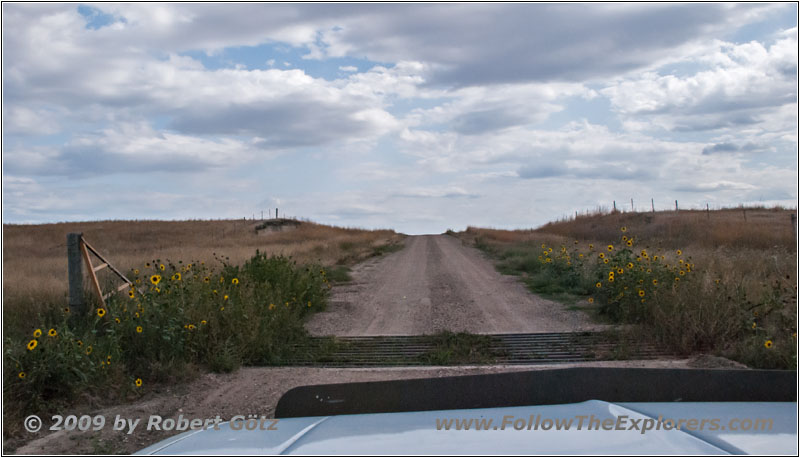
Old Northeast Rd/Ch 11, Badlands National Park, SD
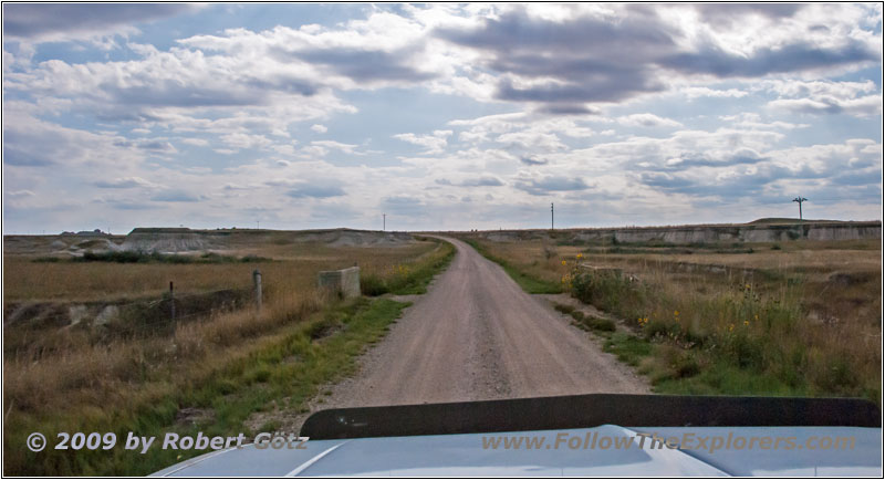
Old Northeast Rd/Ch 11, Badlands National Park, SD
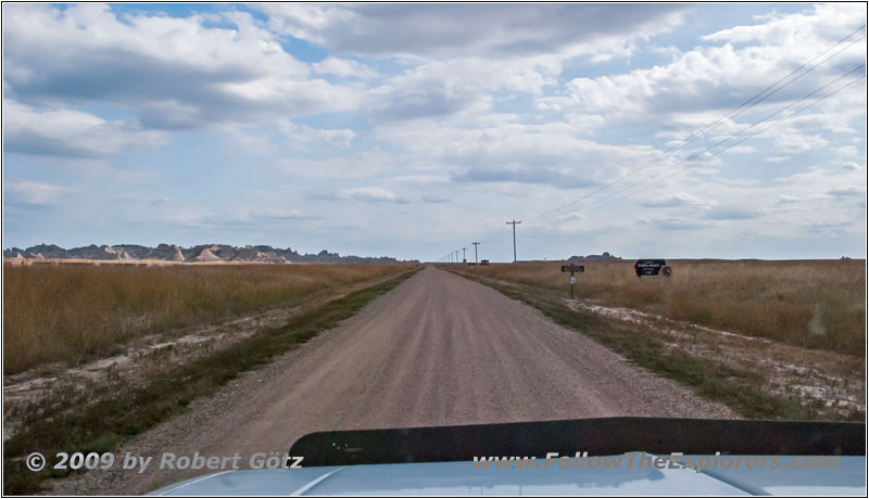
Old Northeast Rd/Ch 11, Badlands National Park, SD
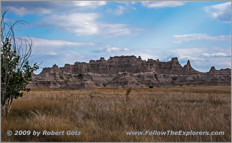
Old Northeast Rd/Ch 11, Badlands National Park, SD
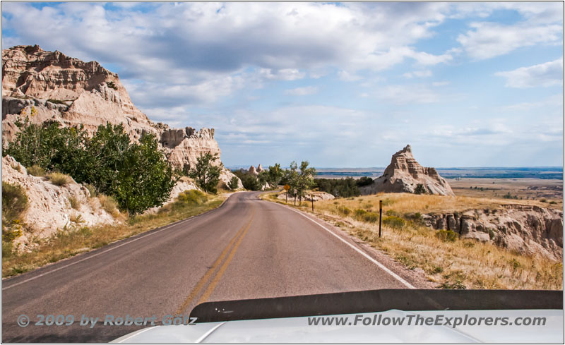
Highway 240, Badlands National Park, SD
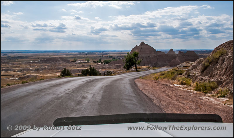
Highway 240, Badlands National Park, SD
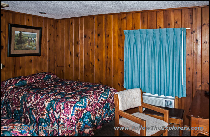
Cedar Pass Lodge, Badlands National Park, SD
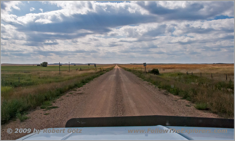
There, the old entrance road leaves, which I follow now. Maybe there is another entrance station where I could pay. The road is gravel. But the landscape is not this interesting. This changes not before I reach the badlands again. Then I am able to get some nice shots again. After this, I continue on Loop Road to my cabin. Just before 4pm I arrive there and get my stuff out of the car. Because I am still very good in time I plan to visit the Ben Reifel Visitor Center, which I had to cancel yesterday due to the power outage. When the museum is going to close I have also finished my visit including the introduction video.
Back in my cabin I already start writing my diary. All in all, I still plan to see the sunset today. Around half past five I walk over dinner. Now “my” hostess is again there. But the restaurant is completely full. So I am only able to get a table in the middle. Because I don’t like this spot I will only have a sirloin. But they are out of sirloin! So I take the filet, which I originally planned for today.
Unfortunately, my server is not the quickest and she also let me sit with my dry coke. But I ask my hostess Diana if she could help me out and she even remembers the “no ice”. Pretty much filled up I walk back to my cabin around half past six. There I continue writing my diary.
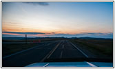
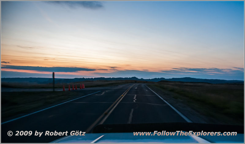
Sunset, Highway 240, Badlands National Park, SD
Around a quarter past seven, I have finished writing and I leave for the sunset. Now, there are a lot of people on the road who just stop for the sunset, which costs me a lot of time. And somehow I was completely out of time.
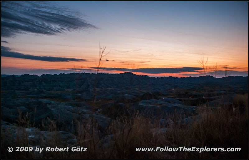
Sunset, Conata Basin Overlook, Badlands National Park, SD
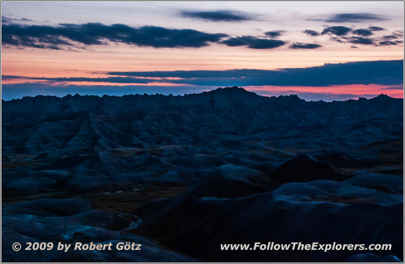
Sunset, Conata Basin Overlook, Badlands National Park, SD
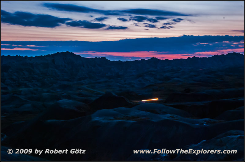
Sunset, Conata Basin Overlook, Badlands National Park, SD
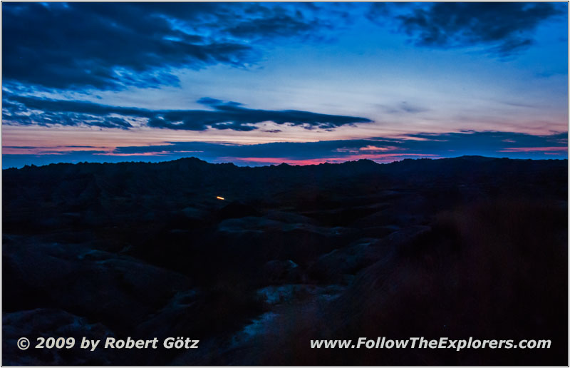
Sunset, Conata Basin Overlook, Badlands National Park, SD
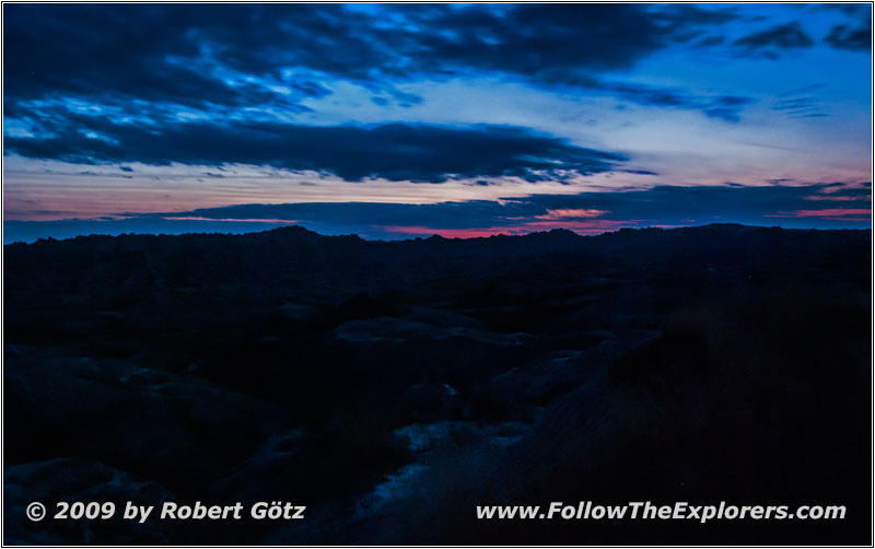
Sunset, Conata Basin Overlook, Badlands National Park, SD
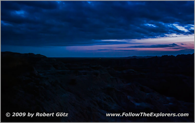
Sunset, Conata Basin Overlook, Badlands National Park, SD
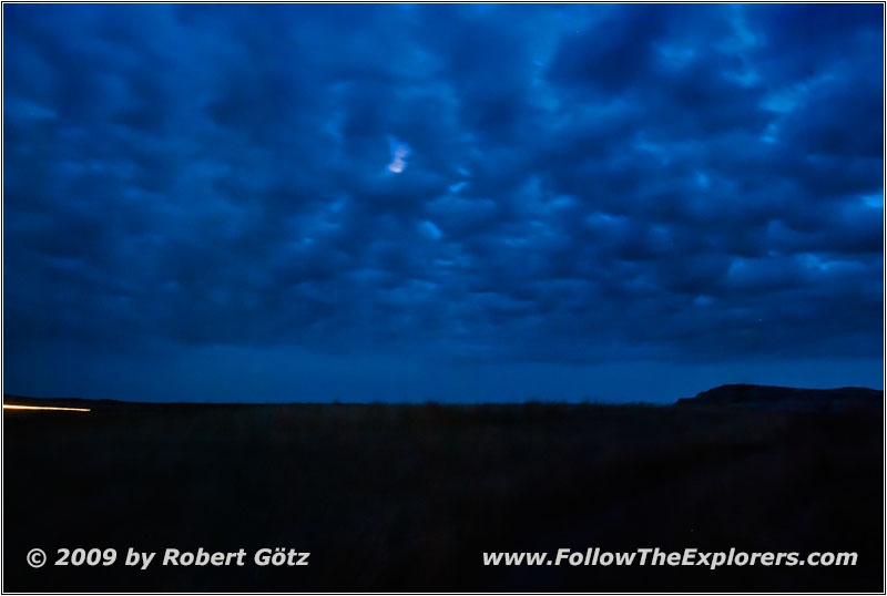
Moon, Conata Basin Overlook, Badlands National Park, SD
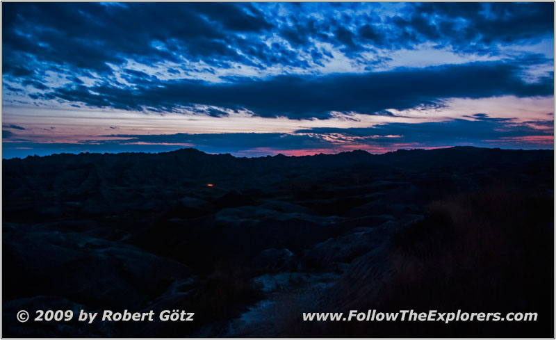
Sunset, Conata Basin Overlook, Badlands National Park, SD
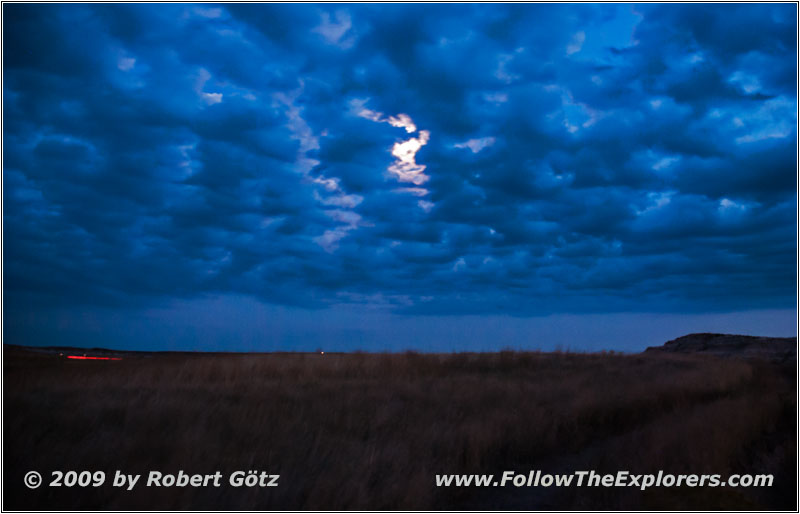
Moon, Conata Basin Overlook, Badlands National Park, SD
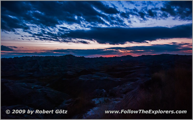
Sunset, Conata Basin Overlook, Badlands National Park, SD
When I arrive there it is already half past seven and I thought 8pm would be a good time for the sunset. As if! I should have been there already just past seven and should have left directly after my dinner. Well, the sun is already gone. But there is still some red haze to take pictures of. First, I do some experiments with my video camera. Then I continue with my Nikon. In the beginning, I try it with the different automatic programs until I give up and go completely manual including the autofocus. This one goes crazy in the night and on this distance anyway.
And this way I am able to get some nice shots. Around a quarter past eight I pack my stuff together and drive back to my cabin. On my drive I am absolutely thrilled by my headlights! Amazing, how much light you can get out from them only by doing the wiring reasonably!
Around a quarter past nine I am back. On my way back I have seen a lot of Sheriffs, probably checking the speed. But I wasn’t driving too fast, so no issue for me. I get my stuff out of the car, then I turn on the coffee machine again to warm up the rest of my coffee. Now a microwave oven would be nice. But I continue writing my diary instead. Then I try the coffee. It’s not really hot but at least a little bit warmed up. Then I continue with working on video and photo. While doing this, Country music from my laptop plays. Also toady I am busy until half past eleven before I am eventually able to go bed…
- Sights
- Badlands National Park (Fee)
- General
- Breakfast: Cedar Pass Restaurant, Cedar Pass
- Dinner: Cedar Pass Restaurant, Cedar Pass
- Motel: Cedar Pass Lodge, Cedar Pass
- Distance: 159 miles
