George Washington Trail
Day 3: August 23rd, 1999 Cumberland — Pittsburgh
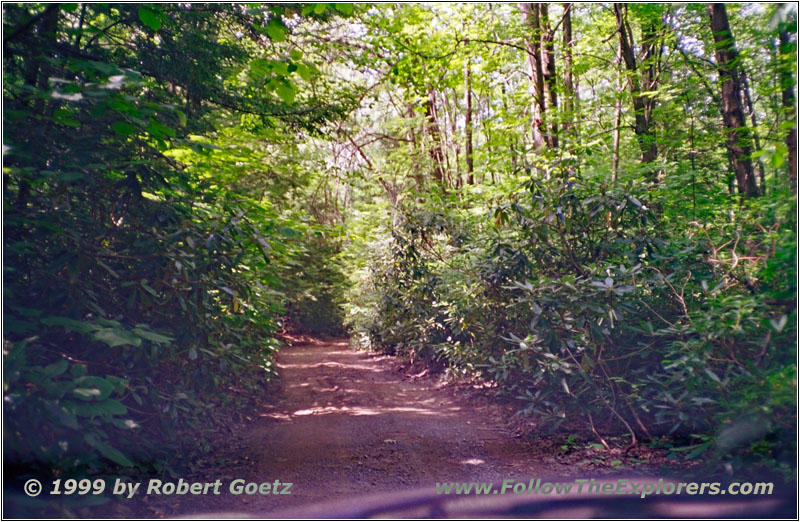
Dry Run Road
I am still fighting the jetlag. But after this long day yesterday, I was able to sleep a little bit longer. My breakfast is today at Denny’s. At a quarter past eight I start my trail today. At first I drive back the Highway 40 to see “The Narrows”. It’s a natural gap between the Appalachian Mountains. I was looking for one of these “Historical Marker” signs. But there was nothing. So I turned back and I think eventually I have found the place. You pass the two hills pretty level, so I assume, this must be “The Narrows”.
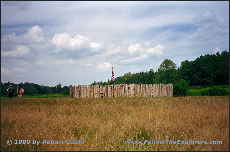
Fort Necessity
At Clarysville I leave Highway 40 and follow the smaller Highways 55 and 36 to Westport. At Bloomington I leave the main highway behind. On this backroad I have a chance to see some deer, grazing close to the road. I drive on the same quality of backroads like yesterday. And they also lower my average speed dramatically. The state border to West Virginia is also almost invincible on these roads. There are no big signs, like on the Interstate. You can only trust your maps.

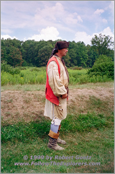
Fort Necessity Narrator
I drive on to Brandonville and from there on Highway 381 back to Highway 40. My next destination is Fort Necessity. This was the only place, where George Washington was defeated after a short fight in the French and Indian War. After a brief introduction to the old muskets and the old history of the Fort by a traditional dressed story teller, I drive back to Highway 40.
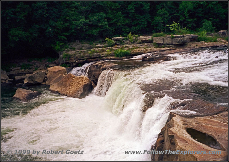
Ohiopyle Falls
From there I follow Highway 381 to Ohiopyle Falls (which means translated: white, foaming water). If you take a look at these falls, you are convinced by this name. I drive on to Normalville and from there on Highway 711 to Connelsville.

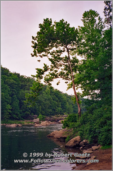
Youghiogheny River
There I leave the main roads behind me again and I follow on the backroads as close as possible the Youghiogheny River. I pass several small villages until I finally reach Highway 148. This one guides me to Pittsburgh. You can easily see the history of this city: All the buildings are covered by soot and they leave a very dark impression. I cross the Youghiogheny River at McKeeSport Bridge, reaching Highway 837. I follow this one on the west banks until I reach Highway 19. Then I follow this Highway to Highway 60, which guides me to my destination of today: The Motel 6 at Beecham Drive. At a quarter to nine I am checking in. At the crossing to the main street I have seen a Kings Family Restaurant. So I decide to have dinner there. After the dinner, I am just falling into my bed.
- Sights
- Ft. Necessity (Fee $2)
- Ohiopyle Falls
- General
- Breakfast: Denny’s, La Vale
- Dinner: King’s Family Restaurant, Pittsburgh
- Motel: Motel 6, Beecham Drive
- Distance: 227 miles
